
Ferrera di Varese, Italian comune
Location: Province of Varese
Capital city: Ferrera di Varese
Elevation above the sea: 299 m
Shares border with: Cassano Valcuvia, Grantola, Masciago Primo, Cunardo, Rancio Valcuvia
Website: http://comune.ferreradivarese.va.it
GPS coordinates: 45.93333,8.78333
Latest update: March 11, 2025 02:21
Monte Scerrè
2.5 km
Chiesa di Sant'Ilario di Poitiers
2.3 km
Lorenzo Vescia American Southwest Museum
3.9 km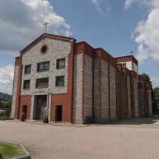
Church Santi Pietro e Paolo
1.9 km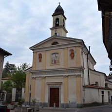
Santi Ippolito e Cassiano
1.1 km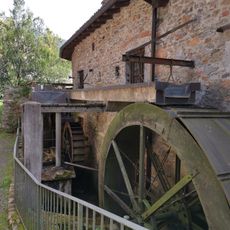
Il Maglio di Ghirla
2.9 km
San Francesco church
4.2 km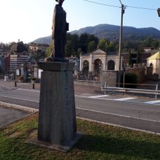
Statue of Saint Peter
3.9 km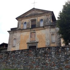
San Michele
3.7 km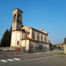
San Pietro
3.9 km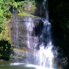
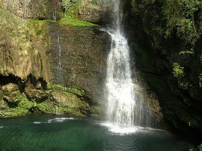
Cascata Fermona
324 m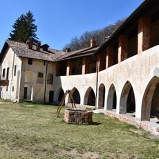
Forestery of San Gemolo Abbey
4.6 km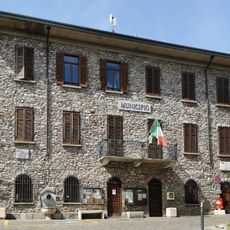
Town hall of Cugliate-Fabiasco
3.4 km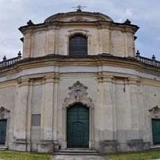
San Martino church
4 km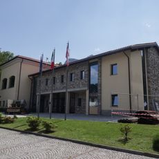
Town hall of Mesenzana
2.4 km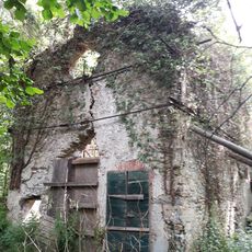
Santa Maria
3.9 km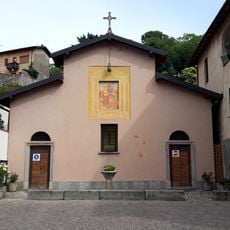
Santa Casa
3.7 km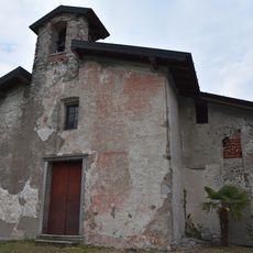
San Giuseppe
998 m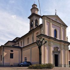
Church of San Giulio
3.5 km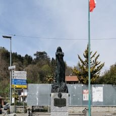
War memorial in Marchirolo
4.2 km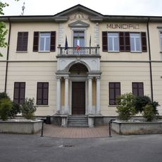
Town hall of Cassano Valcuvia
1.2 km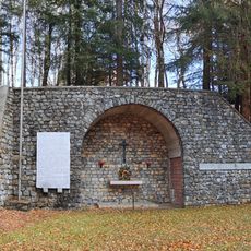
War memorial San Martino
3.1 km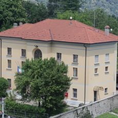
Town hall of Brissago-Valtravaglia
3.4 km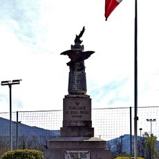
War memorial in Cugliate
3.5 km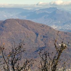
Monte la Nave
4 km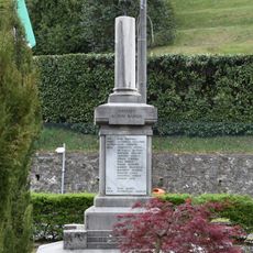
War memorial in Cassano Valcuvia
1.1 km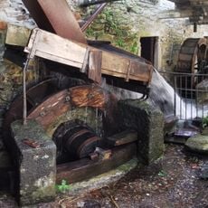
Ghirla trip hammer
2.9 km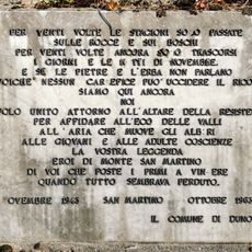
Memorial plaque in Valalta
2.7 kmReviews
Visited this place? Tap the stars to rate it and share your experience / photos with the community! Try now! You can cancel it anytime.
Discover hidden gems everywhere you go!
From secret cafés to breathtaking viewpoints, skip the crowded tourist spots and find places that match your style. Our app makes it easy with voice search, smart filtering, route optimization, and insider tips from travelers worldwide. Download now for the complete mobile experience.

A unique approach to discovering new places❞
— Le Figaro
All the places worth exploring❞
— France Info
A tailor-made excursion in just a few clicks❞
— 20 Minutes