
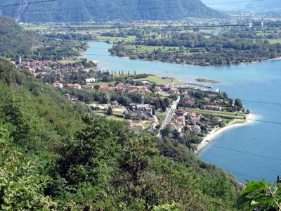
Gera Lario, Italian comune
Location: Province of Como
Capital city: Gera Lario
Elevation above the sea: 201 m
Shares border with: Montemezzo, Sorico, Trezzone, Vercana, Piantedo, Colico, Dubino
Website: http://comune.geralario.co.it
GPS coordinates: 46.16667,9.36667
Latest update: March 5, 2025 12:54
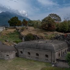
Fort Montecchio
2.8 km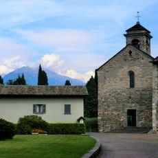
Piona Abbey
5.5 km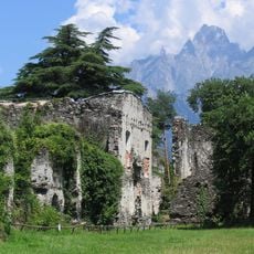
Fort Fuentes
3.5 km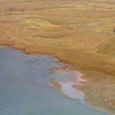
Riserva Naturale Pian di Spagna e Lago di Mezzola
5.1 km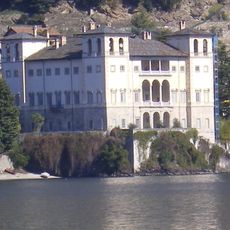
Palazzo Gallio
4.9 km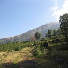
Monte Berlinghera
5.2 km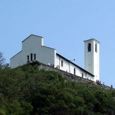
Chiesa di San Miro
1.8 km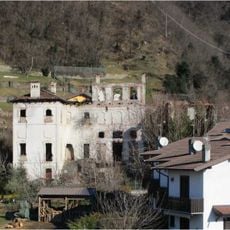
Palazzo Giulini
1.1 km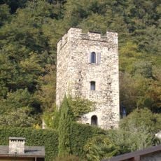
Castello di San Giorgio
1.3 km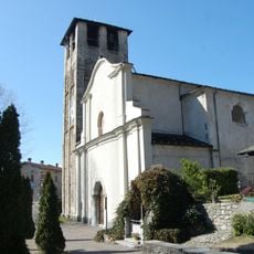
Santo Stefano
1.2 km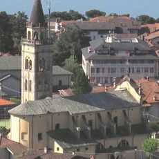
San Bartolomeo
3.3 km
Museum of Peasant Culture of Colico
4 km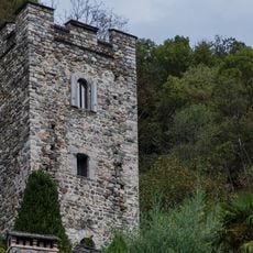
New Tower
1.6 km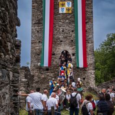
Fontanedo Tower
5.2 km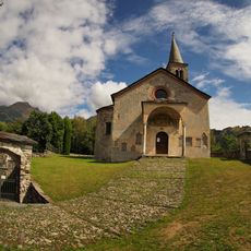
San Giacomo
4.4 km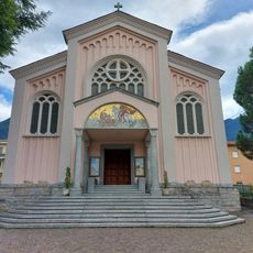
San Giorgio church
3.5 km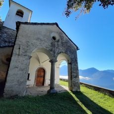
Santa Croce
4.6 km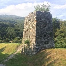
Middle age tower
1.4 km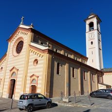
San Bernardino church
4.4 km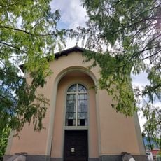
Santi Angeli Custodi church
4.1 km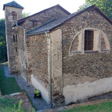
Santa Croce church
5.7 km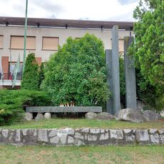
War memorial
3.5 km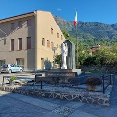
War memorial
4.4 km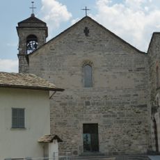
Chiesa di San Nicolò a Piona
5.5 km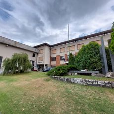
Palazzo Municipale
3.5 km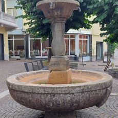
San Giorgio square fountain
3.4 km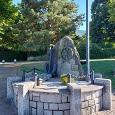
Monumento to the sailors
3.3 km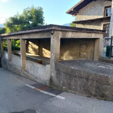
Wash house of Villatico
4.4 kmReviews
Visited this place? Tap the stars to rate it and share your experience / photos with the community! Try now! You can cancel it anytime.
Discover hidden gems everywhere you go!
From secret cafés to breathtaking viewpoints, skip the crowded tourist spots and find places that match your style. Our app makes it easy with voice search, smart filtering, route optimization, and insider tips from travelers worldwide. Download now for the complete mobile experience.

A unique approach to discovering new places❞
— Le Figaro
All the places worth exploring❞
— France Info
A tailor-made excursion in just a few clicks❞
— 20 Minutes