
Dugenta, Italian comune
Location: Province Benevento
Capital city: Dugenta
Elevation above the sea: 55 m
Shares border with: Castel Campagnano, Frasso Telesino, Limatola, Sant'Agata de' Goti, Melizzano
Website: https://comune.dugenta.bn.it
GPS coordinates: 41.13333,14.45000
Latest update: March 3, 2025 05:02
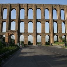
Aqueduct of Vanvitelli
9.2 km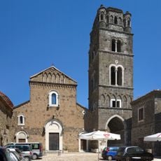
Duomo di Casertavecchia
8.1 km
Castello di Casertavecchia
7.9 km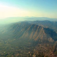
Parco regionale del Taburno - Camposauro
11.1 km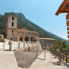
Sanctuary of the Virgin of Taburnus
11.5 km
Duomo of Sant'Agata de' Goti
6.5 km
Castello di Sant'Agata de' Goti
6.8 km
Madonna del Roseto
8.5 km
Chiesa di San Rufo
9.2 km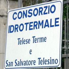
Telese spa
11.8 km
San Lorenzo Martire
9.2 km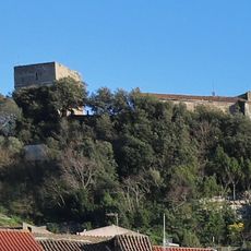
Castello di Caiazzo
8.3 km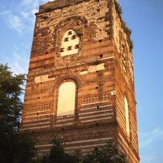
Cathedral
10.9 km
Marafi
11.5 km
Chiesa di San Pietro Apostolo
6.5 km
Sant'Andrea di Marafi
11.5 km
San Menna
6.7 km
Museo Diocesano di Sant'Agata de' Goti
6.6 km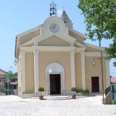
Chiesa di San Giovanni Battista
10 km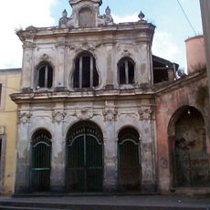
Ave Gratia Plena
8.1 km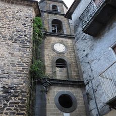
Immacolata
8.4 km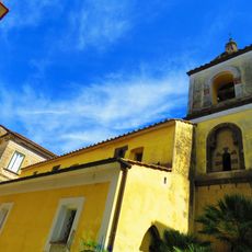
Sant'Angelo in Munculanis (Sant'Agata de' Goti)
6.7 km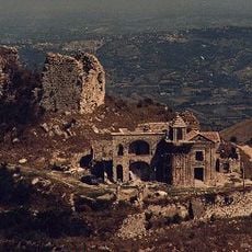
Monte Castello
7.5 km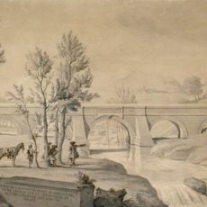
Ponte Nuovo (Vanvitelli)
11.3 km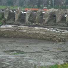
Telesia amphitheatre
11 km
Chiesa di Sant'Augusto
10.2 km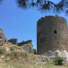
Torre dei falconi
8 km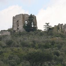
Castello di Airola
11.5 kmReviews
Visited this place? Tap the stars to rate it and share your experience / photos with the community! Try now! You can cancel it anytime.
Discover hidden gems everywhere you go!
From secret cafés to breathtaking viewpoints, skip the crowded tourist spots and find places that match your style. Our app makes it easy with voice search, smart filtering, route optimization, and insider tips from travelers worldwide. Download now for the complete mobile experience.

A unique approach to discovering new places❞
— Le Figaro
All the places worth exploring❞
— France Info
A tailor-made excursion in just a few clicks❞
— 20 Minutes