
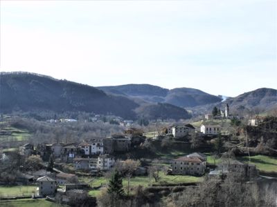
Zeri, Italian comune
Location: Province of Massa-Carrara
Capital city: Zeri
Elevation above the sea: 708 m
Shares border with: Albareto, Mulazzo, Pontremoli, Rocchetta di Vara, Sesta Godano, Zignago
Website: http://comune.zeri.ms.it
GPS coordinates: 44.35000,9.76667
Latest update: March 21, 2025 08:01
Monte Gottero
7.2 km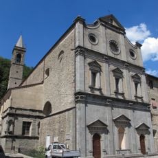
Santissima Annunziata (Pontremoli)
9.8 km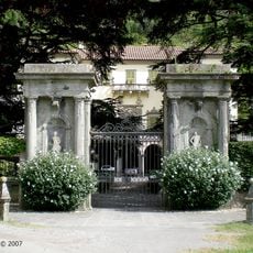
Villa Dosi Delfini
9.5 km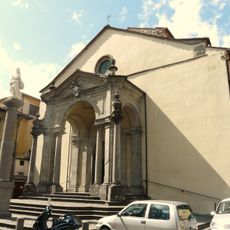
San Francesco (Pontremoli)
9.6 km
Villa Zucchini Zannelli
10.3 km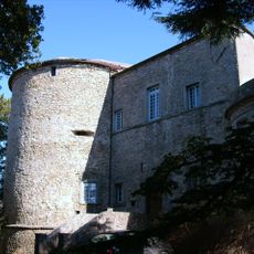
Castle of Suvero
9.4 km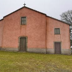
Madonna del Dragnone
6.8 km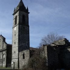
Chiesa di San Lorenzo
186 m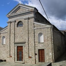
Sant'Apollinare
8.7 km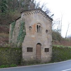
San Lazzaro (Pontremoli)
9.6 km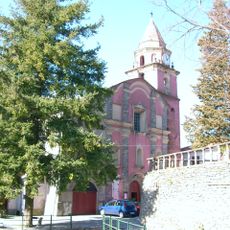
San Giovanni Battista
9.5 km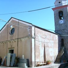
San Martino
10.1 km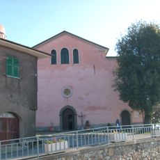
San Pietro
8.2 km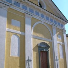
Santa Maria Assunta
9.9 km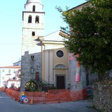
Santa Giustina
11.1 km
Centro Sportivo Sandro Pertini
10.6 km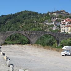
Ponte della Crësa
9.6 km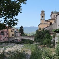
Ponte Cesare Battisti
9.7 km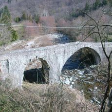
Ponte Medioevale sul torrente Gottero
9.9 km
Palazzo Municipale in Sesta Godano
9.6 km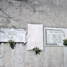
Targhe commemorative di Chiusola
5.3 km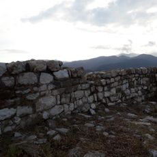
Castello di Sesta Godano
8.8 km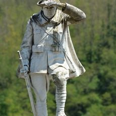
War memorial
9.6 km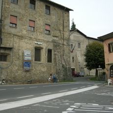
Convento della Santissima Annunziata
9.8 km
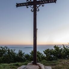
Cross on the mount Gottero
7.2 km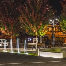
Fountain
9.6 km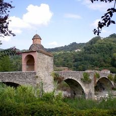
Ponte ai Chiosi
9.3 km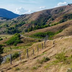
Monte Gottero
6.9 kmReviews
Visited this place? Tap the stars to rate it and share your experience / photos with the community! Try now! You can cancel it anytime.
Discover hidden gems everywhere you go!
From secret cafés to breathtaking viewpoints, skip the crowded tourist spots and find places that match your style. Our app makes it easy with voice search, smart filtering, route optimization, and insider tips from travelers worldwide. Download now for the complete mobile experience.

A unique approach to discovering new places❞
— Le Figaro
All the places worth exploring❞
— France Info
A tailor-made excursion in just a few clicks❞
— 20 Minutes