
Kurtinig an der Weinstraße, municipality in South Tyrol, Italy
Location: South Tyrol
Elevation above the sea: 212 m
Shares border with: Margreid an der Weinstraße, Salorno sulla Strada del Vino, Neumarkt
Website: http://gemeinde.kurtinig.bz.it
GPS coordinates: 46.26941,11.22188
Latest update: March 25, 2025 01:05

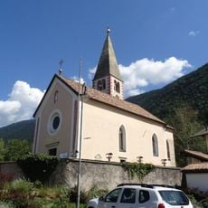
Saint Ursula church
2.9 km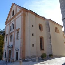
Saint Gertrude church
2.1 km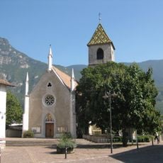
St. Martin
126 m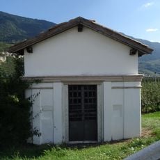
Chapel in Mühlenstraße
1.3 km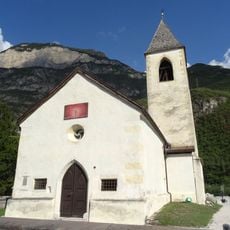
Saint Lawrence church
1.3 km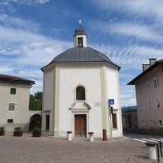
Our Lady chapel
2.1 km
Our Lady of the Snow chapel
2.2 km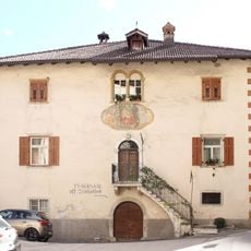
Pfarrwidum Margreid
2 km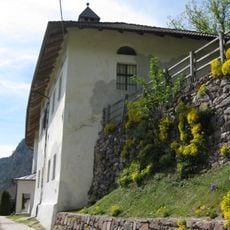
Saint Charles Borromeo church
2.3 km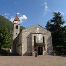
Immacolata church
1.5 km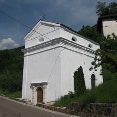
Saint John of Nepomuk church
2.9 km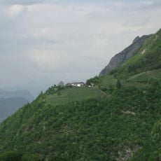
Crozzol
2.3 km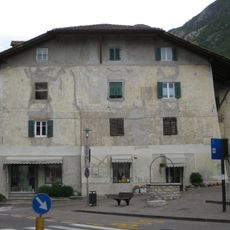
Freiheitsplatz 1-2
1.4 km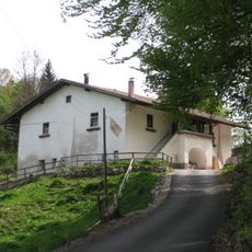
Lindenhof in Unterfennberg
2.1 km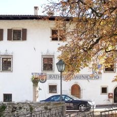
Rathaus Margreid
2.2 km
Franz-Harpf-Straße 7
189 m
Danteplatz 4
166 m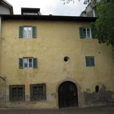
Gfrillner Weg 31-35
1.4 km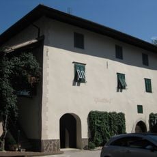
Franz-Harpf-Straße 9
207 m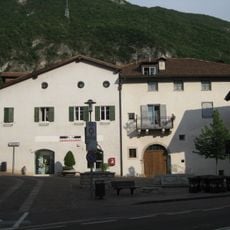
Freiheitsplatz 3-5
1.4 km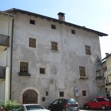
Goethe-Platz 1
109 m
Benefiziatenhaus in Unterfennberg
2.1 km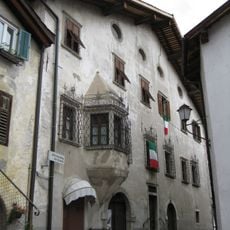
Gfrillner Weg 1-5
1.4 km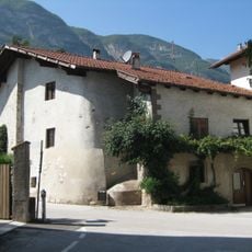
Goethe-Platz 4
101 m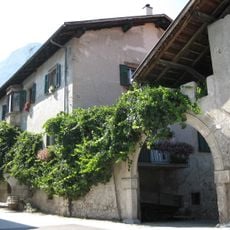
Franz-Harpf-Straße 2
144 m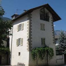
Goethe-Platz 5
89 m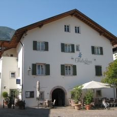
Gasthof Teutschhaus in Kurtinig
64 m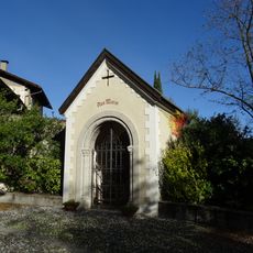
Lourdes chapel
2.1 kmVisited this place? Tap the stars to rate it and share your experience / photos with the community! Try now! You can cancel it anytime.
Discover hidden gems everywhere you go!
From secret cafés to breathtaking viewpoints, skip the crowded tourist spots and find places that match your style. Our app makes it easy with voice search, smart filtering, route optimization, and insider tips from travelers worldwide. Download now for the complete mobile experience.

A unique approach to discovering new places❞
— Le Figaro
All the places worth exploring❞
— France Info
A tailor-made excursion in just a few clicks❞
— 20 Minutes