
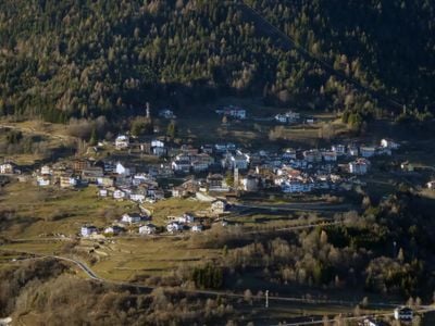
Capriana, Italian comune
Location: Trentino
Capital city: Capriana
Elevation above the sea: 1,007 m
Shares border with: Altavalle, Castello-Molina di Fiemme, Altrei, Montan an der Weinstraße, Salorno sulla Strada del Vino, Sover, Truden im Naturpark, Valfloriana
Website: http://comunecapriana.com
GPS coordinates: 46.26667,11.33333
Latest update: March 8, 2025 12:44
Monte Corno
2.7 km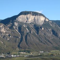
Madruttberg
5.2 km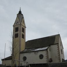
St. Catherine
2.7 km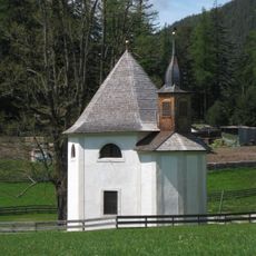
Visitation chapel
4.1 km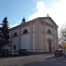
Saint Bartholomew church
667 m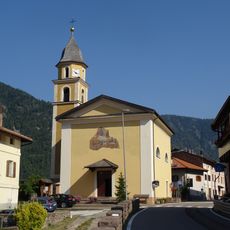
Saint Barbara church
3.1 km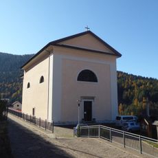
Saint Florian church
2.1 km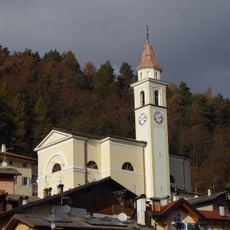
Saint Martin church
4.8 km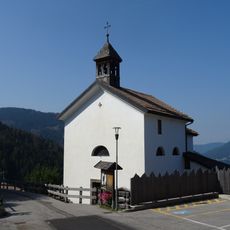
Saint Anthony of Padua church
2.3 km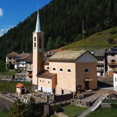
Saint Philip Neri church
4 km
Our Lady of the Snow chapel
4.5 km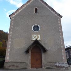
Immacolata church
1.1 km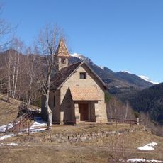
Immaculate Heart of Mary church
5.3 km
Saint Margaret church
3.9 km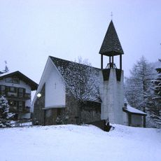
Holy Guardian Angels church
5.5 km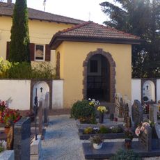
Crucifix chapel
3.1 km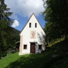
Saint Leonard chapel
3.7 km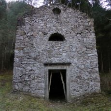
Exaltation of the Cross church
2.5 km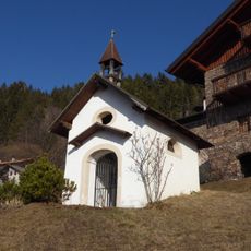
Our Lady of Graces chapel
3.7 km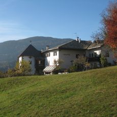
Am Ort in Altrei
2.7 km
Leitach in Buchholz
5.6 km
Lochmann in Altrei
2.9 km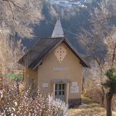
Saint Anne chapel
1.3 km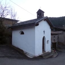
Saint John of Nepomuk chapel
3.3 km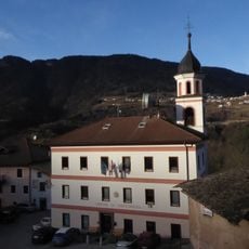
Town hall of Valfloriana
2 km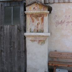
Bildstock in Altrei
2.8 km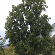
Monumental linden in Gschnon
4.5 km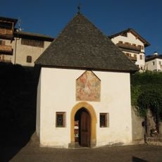
Cemetery chapel
6.2 kmReviews
Visited this place? Tap the stars to rate it and share your experience / photos with the community! Try now! You can cancel it anytime.
Discover hidden gems everywhere you go!
From secret cafés to breathtaking viewpoints, skip the crowded tourist spots and find places that match your style. Our app makes it easy with voice search, smart filtering, route optimization, and insider tips from travelers worldwide. Download now for the complete mobile experience.

A unique approach to discovering new places❞
— Le Figaro
All the places worth exploring❞
— France Info
A tailor-made excursion in just a few clicks❞
— 20 Minutes