
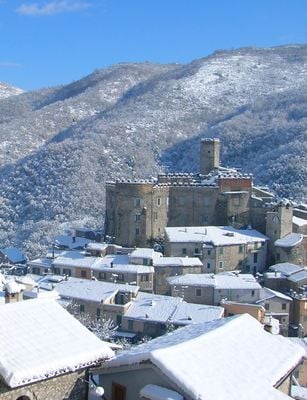
Cineto Romano, Italian comune
Location: Metropolitan City of Rome
Capital city: Cineto Romano
Elevation above the sea: 519 m
Shares border with: Mandela, Percile, Riofreddo, Roviano, Vallinfreda
Website: https://cineto.it
GPS coordinates: 42.05028,12.96500
Latest update: March 10, 2025 21:59
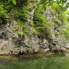
Parco naturale regionale dei Monti Lucretili
9.3 km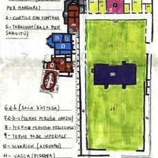
Horace's Villa
5.6 km
Castello Theodoli
7.3 km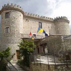
Castello di Oricola
6.1 km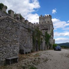
Castello Malvezzi-Campeggi
9.3 km
Castello Colonna-Del Drago
3.2 km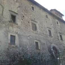
Palazzo baronale
9.8 km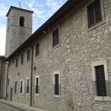
Convento di San Francesco
9.5 km
Monte Aguzzo
3.6 km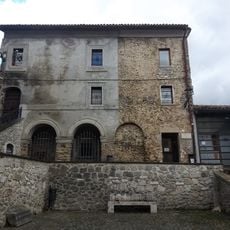
Modern and Contemporary Art Museum
4.8 km
Museo della civiltà contadina Valle dell'Aniene
3.7 km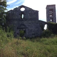
Santa Maria del Piano
9.7 km
Museo delle tradizioni musicali
4.4 km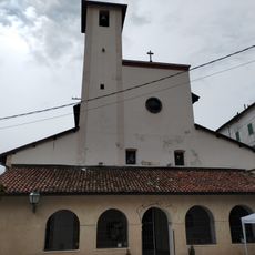
San Pietro Apostolo
8.9 km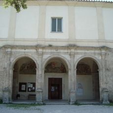
Convent of San Cosimato
6 km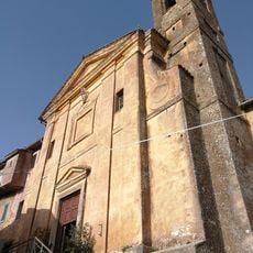
San Pietro
7.3 km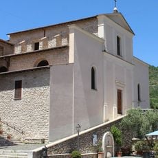
Chiesa di San Giovanni Battista
105 m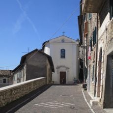
San Salvatore
6.2 km
San Pietro Eremita
9 km
Santa Maria della Febbre
8.9 km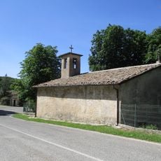
Santa Restituta
5.9 km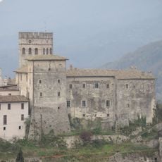
Castello Brancaccio
3.6 km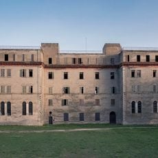
Ex monastero di Roviano
4.2 km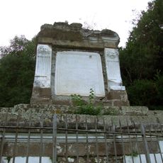
Tomb of C. Maenius Bassus
9.5 km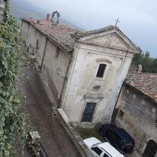
Santa Maria Assunta
6.1 km
San Rocco
4.8 km
Sequoie secolari
4.6 km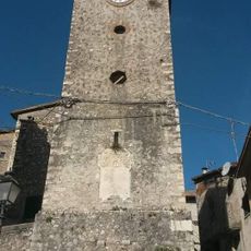
Torre dell'Orologio
9 kmReviews
Visited this place? Tap the stars to rate it and share your experience / photos with the community! Try now! You can cancel it anytime.
Discover hidden gems everywhere you go!
From secret cafés to breathtaking viewpoints, skip the crowded tourist spots and find places that match your style. Our app makes it easy with voice search, smart filtering, route optimization, and insider tips from travelers worldwide. Download now for the complete mobile experience.

A unique approach to discovering new places❞
— Le Figaro
All the places worth exploring❞
— France Info
A tailor-made excursion in just a few clicks❞
— 20 Minutes