
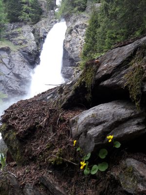
Alta Val di Rabbi, area protetta della provincia autonoma di Trento
Location: Trentino
Part of: Natura 2000, Stelvio, Stelvio National Park
GPS coordinates: 46.43972,10.75722
Latest update: April 2, 2025 02:45
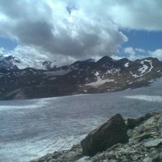
Careser Glacier
3.8 km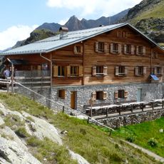
Marteller Hütte
7.3 km
Hintere Eggenspitze
4.4 km
Zufrittspitze
7.2 km
Höchster Hütte
5.7 km
Punta di Quaira
7.3 km
Köllkuppe
5.8 km
Cima Nera
6.9 km
Veneziaspitze
5.4 km
Parish Church of St. Gertraud in Ulten
10.2 km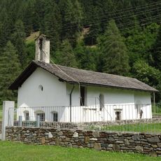
Saint Bartholomew church
10.1 km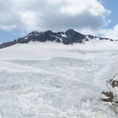
Hintere Rotspitze
3.9 km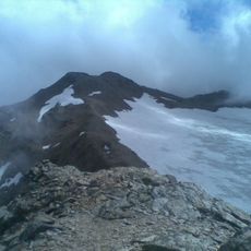
Cima Careser
2.5 km
Cima Tuatti
8 km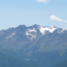
Vordere Eggenspitze
4 km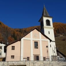
Madonna di Loreto
5.8 km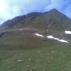
Castel Pagan
8.1 km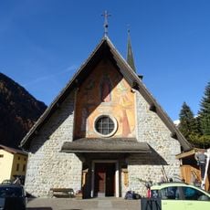
Saint Bernard church
8 km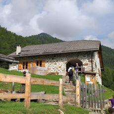
Malga Talè
8.4 km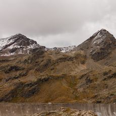
Cima Ponte Vecchio
3 km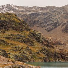
Cima Campisol
2.9 km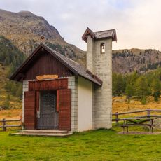
Chiesetta di Malga Mare
6.4 km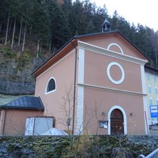
Saint Anne church
5.3 km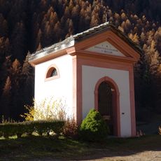
Virgo Dolorosa chapel
7.6 km
Cima Cavaion
3.6 km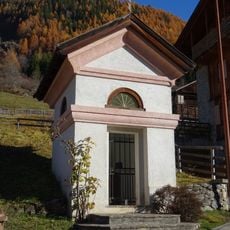
Immacolata chapel
8.4 km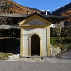
Crucifix chapel
8.4 km
Pfarrwidum in St. Gertraud
10.2 kmReviews
Visited this place? Tap the stars to rate it and share your experience / photos with the community! Try now! You can cancel it anytime.
Discover hidden gems everywhere you go!
From secret cafés to breathtaking viewpoints, skip the crowded tourist spots and find places that match your style. Our app makes it easy with voice search, smart filtering, route optimization, and insider tips from travelers worldwide. Download now for the complete mobile experience.

A unique approach to discovering new places❞
— Le Figaro
All the places worth exploring❞
— France Info
A tailor-made excursion in just a few clicks❞
— 20 Minutes