
Santuario della Beata Vergine della Sanità, santuario di Priero
Location: Priero
Elevation above the sea: 475 m
GPS coordinates: 44.37652,8.08778
Latest update: March 2, 2025 20:31
Parco naturale regionale di Bric Tana
9 km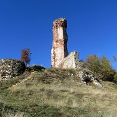
Castello di Battifollo
8.3 km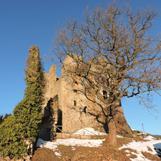
Castle of Nucetto
4.6 km
Monastero di Santo Stefano
9.3 km
Riserva naturale delle Sorgenti del Belbo
4.4 km
Chiesa di San Giovanni Battista
2.7 km
Zemola
8.8 km
Assunzione della Beata Maria Vergine Church
4.4 km
San Lorenzo
9.1 km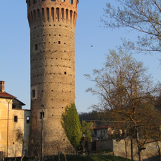
Torre di Priero
654 m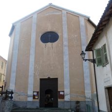
San Donato
8.7 km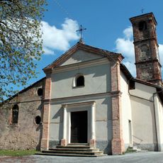
Chiesa di San Bartolomeo
4.8 km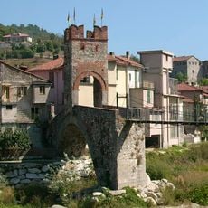
Ponte della Gaietta
9.5 km
Chiesa di San Giorgio
8.3 km
Teatro Carlo Marenco
4.4 km
Cappella della Santissima Annunziata
9.5 km
San Vincenzo
8.7 km
Santi Rocco e Giuseppe
9 km
Cappella di Sant'Anastasia
4.8 km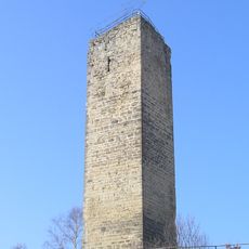
Torre
3.9 km
Town hall of Ceva
4.3 km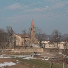
Pieve di San Giovanni Battista
3.2 km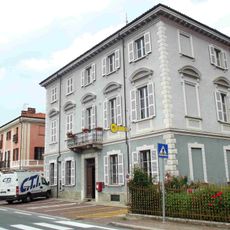
Town hall of Nucetto
4.7 km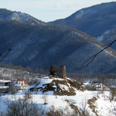
Torre di Scagnello
9.4 km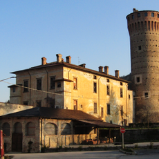
Castello di Priero
842 m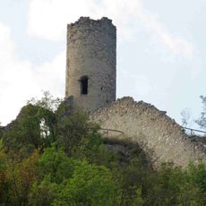
Castello
8.7 km
Castello di Malpotremo
2.5 km
Town hall of Montezemolo
4.3 kmVisited this place? Tap the stars to rate it and share your experience / photos with the community! Try now! You can cancel it anytime.
Discover hidden gems everywhere you go!
From secret cafés to breathtaking viewpoints, skip the crowded tourist spots and find places that match your style. Our app makes it easy with voice search, smart filtering, route optimization, and insider tips from travelers worldwide. Download now for the complete mobile experience.

A unique approach to discovering new places❞
— Le Figaro
All the places worth exploring❞
— France Info
A tailor-made excursion in just a few clicks❞
— 20 Minutes