
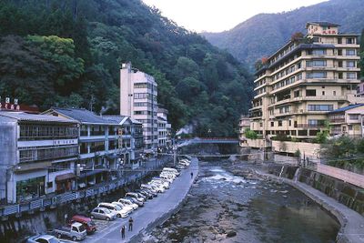
Oguni, town in Aso district, Kumamoto prefecture, Japan
Location: Kumamoto Prefecture
Location: Aso district
Inception: April 1, 1889
Website: https://www.town.kumamoto-oguni.lg.jp/
Shares border with: Minamioguni, Hita, Kusu, Kokonoe
Website: https://town.kumamoto-oguni.lg.jp
GPS coordinates: 33.12158,131.06814
Latest update: May 27, 2025 11:48

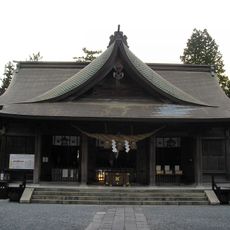
Aso Shrine
19.9 km
Autopolis
12.9 km
Aso Cuddly Dominion
21.2 km
Nakatsuemura
12.3 km
Mount Kuju
16.7 km
Nabe Falls
3.5 km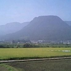
Mount Kirikabu
16.9 km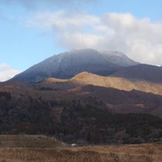
Mount Taisen
20 km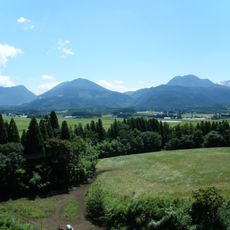
Handa Plateau
13.9 km
Mori Jin'ya
21.8 km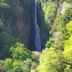
Shindō Falls
15.6 km
Senomoto plateau
12.5 km
Roadside station Taio-kinzan
17.4 km
Sensuikyō
24.8 km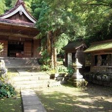
Manganji
5.7 km
Saigandenji
21.2 km
Mount Hossho
15.7 km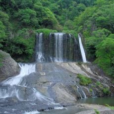
Ryūmon Falls
21.5 km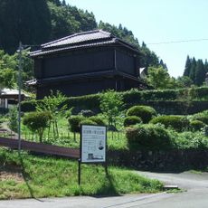
Shibasaburo Kitazato Memorial Museum
3.1 km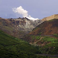
Mount Io
16.2 km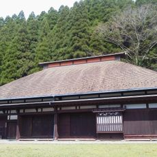
Sakamoto Zenzō Museum of Art
3 km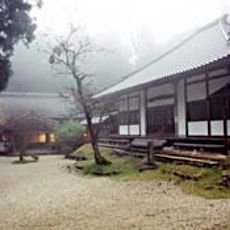
聖護寺
18.5 km
Kurushima Takehiko Memorial Hall
21.9 km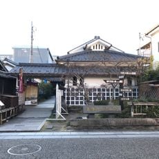
Tenryō Hita Museum
25.1 km
Hita Gion Yamahoko Kaikan
25.1 km
Yonjūsanman-Wasserfall
17.6 km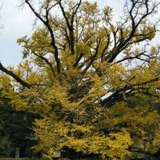
Shimojō no Ōichō
3.4 km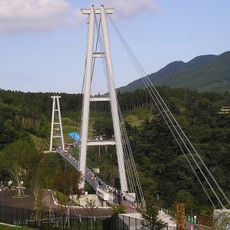
Kokonoe Yume Suspension Bridge
15.9 kmReviews
Visited this place? Tap the stars to rate it and share your experience / photos with the community! Try now! You can cancel it anytime.
Discover hidden gems everywhere you go!
From secret cafés to breathtaking viewpoints, skip the crowded tourist spots and find places that match your style. Our app makes it easy with voice search, smart filtering, route optimization, and insider tips from travelers worldwide. Download now for the complete mobile experience.

A unique approach to discovering new places❞
— Le Figaro
All the places worth exploring❞
— France Info
A tailor-made excursion in just a few clicks❞
— 20 Minutes