
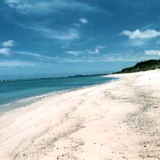
Amagi, town in Ōshima district, Kagoshima prefecture, Japan
Location: Ōshima district
Inception: January 1, 1961
Shares border with: Tokunoshima, Isen
Website: https://town.amagi.lg.jp
GPS coordinates: 27.81186,128.89758
Latest update: April 3, 2025 16:00

Amami Ōshima
69.8 km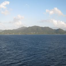
Tokunoshima
3.5 km
Okinawa Churaumi Aquarium
160.2 km
Okinawa Commemorative National Government Park
160.5 km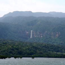
Amami-Ōshima Island, Tokunoshima Island, northern part of Okinawa Island, and Iriomote Island
70.3 km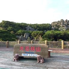
Daisekirinzan
123.4 km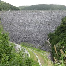
Fukuji Dam
148.1 km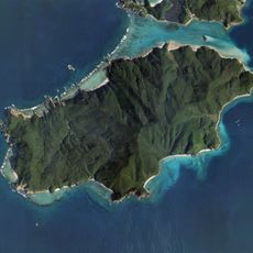
Edateku Island
61.2 km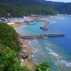
Kayauchi-banta Cliff
124.4 km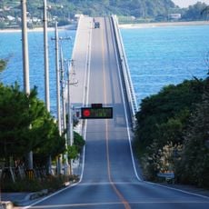
Kouri Bridge
152.5 km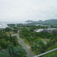
Amami Park
103.2 km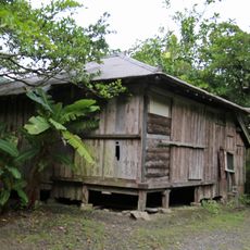
Isson Tanaka's Final Residence
89.4 km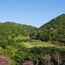
Cone Karst Region
159.6 km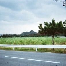
Izena Castle
136.8 km
Akakina Castle
105.1 km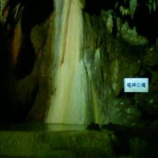
Shōryūdō
60.5 km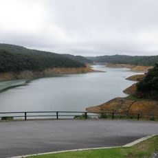
Lake Fukugami
146.4 km
Amami Islands Botanical Garden
69.8 km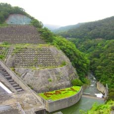
Aha Dam
137.4 km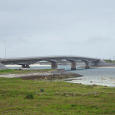
Noho Bridge
131.6 km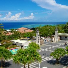
Omoro Botanical Garden
160.5 km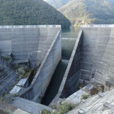
Okawa Dam
82.4 km
Ufunishi Tomb
153.7 km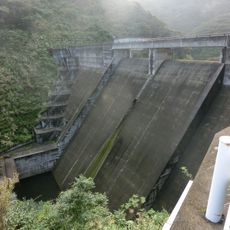
Yamato Dam
76.2 km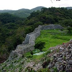
Nakijin Castle
157.3 km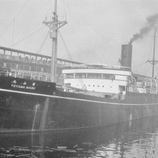
Toyama Maru
18.5 km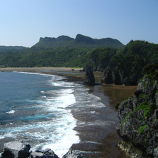
Yanbaru
141.5 km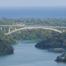
Warumi Bridge
155.6 kmReviews
Visited this place? Tap the stars to rate it and share your experience / photos with the community! Try now! You can cancel it anytime.
Discover hidden gems everywhere you go!
From secret cafés to breathtaking viewpoints, skip the crowded tourist spots and find places that match your style. Our app makes it easy with voice search, smart filtering, route optimization, and insider tips from travelers worldwide. Download now for the complete mobile experience.

A unique approach to discovering new places❞
— Le Figaro
All the places worth exploring❞
— France Info
A tailor-made excursion in just a few clicks❞
— 20 Minutes