
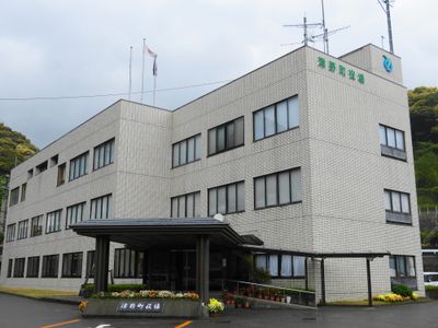
Tsuno, town in Takaoka district, Kōchi prefecture, Japan
Location: Kōchi Prefecture
Location: Takaoka District
Inception: February 1, 2005
Shares border with: Susaki, Niyodogawa, Nakatosa, Sakawa, Ochi, Yusuhara, Shimanto, Kumakōgen
Website: https://town.kochi-tsuno.lg.jp
GPS coordinates: 33.44658,133.19931
Latest update: March 8, 2025 07:29
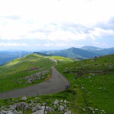
Shikoku Karst
22.2 km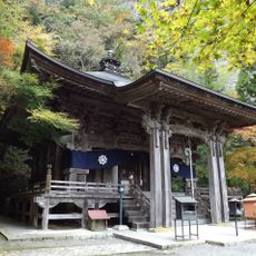
Iwaya-ji
31.1 km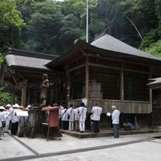
Shouryuu-ji
23.5 km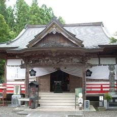
Iwamoto-ji
27.2 km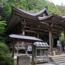
Daihou-ji
35.8 km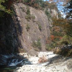
Omogo-kei
33.2 km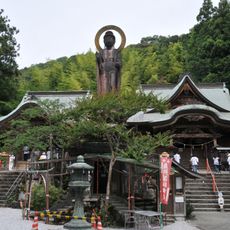
Kiyotaki-ji
20.9 km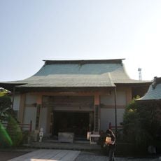
Tanema-ji
27.2 km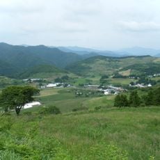
Ōnogahara
30.7 km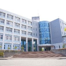
Kochi Professional University of Rehabilitation
20.6 km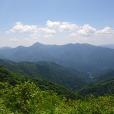
Mount Irazu
12.7 km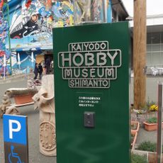
Kaiyodo Hobby Museum Shimanto
35.7 km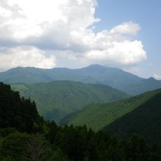
Mount Nakatsumyōjin
20.2 km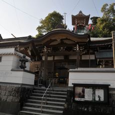
Daizen-ji
10 km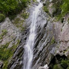
Goraikō Falls
35.8 km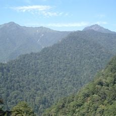
Mount Ninomori
36.1 km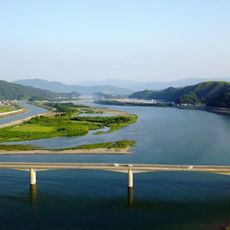
仁淀川河口大橋
26 km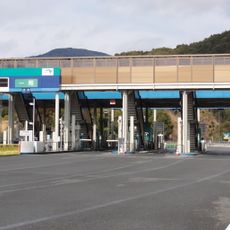
Susaki-higashi toll gate
9.9 km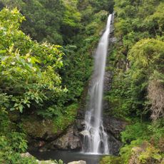
Ōtaru Falls
8.9 km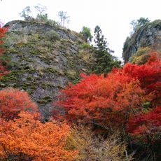
Furuiwaya
32.3 km
Kuma Museum of Art
36.2 km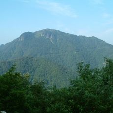
Mount Iwaguro
34.1 km
Ino-cho Paper Museum
23.6 km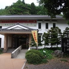
Yusuhara Museum of History and Folklore
26 km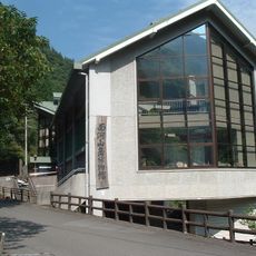
Omogo Mountain Museum
31.5 km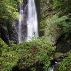
Nagasawa Falls
19 km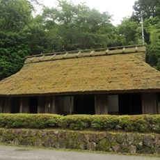
旧山中家住宅
29.4 km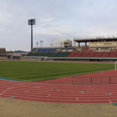
Kochi Haruno Athletic Stadium
29.1 kmReviews
Visited this place? Tap the stars to rate it and share your experience / photos with the community! Try now! You can cancel it anytime.
Discover hidden gems everywhere you go!
From secret cafés to breathtaking viewpoints, skip the crowded tourist spots and find places that match your style. Our app makes it easy with voice search, smart filtering, route optimization, and insider tips from travelers worldwide. Download now for the complete mobile experience.

A unique approach to discovering new places❞
— Le Figaro
All the places worth exploring❞
— France Info
A tailor-made excursion in just a few clicks❞
— 20 Minutes