
Sulukta, town in Batken Region, Kyrgyzstan
Location: Batken Region
Inception: 1868
Elevation above the sea: 1,380 m
GPS coordinates: 39.93333,69.56667
Latest update: April 20, 2025 07:51

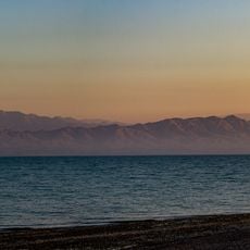
Kayrakkum Reservoir
57.8 km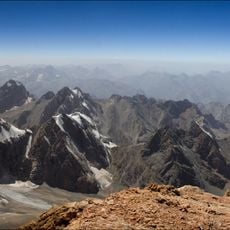
Pamir-Alay
102.2 km
Tuyabuguz Reservoir
115.9 km
Zaamin National Park
97.9 km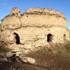
Qaynargumbaz
116.1 km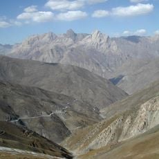
Zarafshan Range
86.6 km
Suffa RT-70 radio telescope
101.7 km
Kanka
109 km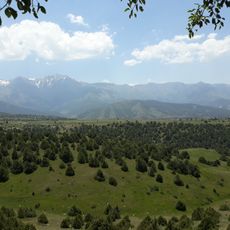
Zaamin State Nature Reserve
119.3 km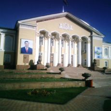
Arbob Cultural Palace
38.9 km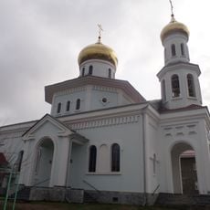
Women Monastery Svyato-Pokrovsky in Dostobod
115.9 km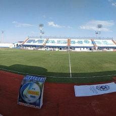
Bahrom Vafoev Stadium
39.7 km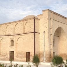
Kyzyl mazar
46.7 km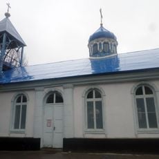
Church in Olmaliq
102.7 km
Shoabdumalik ota maqbarasi
112.6 km
Ghafurow-Museum
35.7 km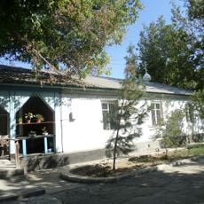
Church in Ohangaron
109.2 km
Pik Piramidalnyj
69.3 km
Bahoriston
120.7 km
Lednik Kshemysh
100.2 km
Lednik Ak-Suu
76.3 km
Lednik Mynteke
88.6 km
Lednik Tamyngen
80.7 km
Lednik Tutek
121.5 km
Lednik Raygorodskogo
106 km
Kamol Khudzhandi Musical and Drama Theatre
39.3 km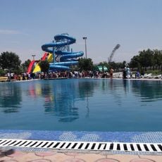
Akvapark Del'fin
101.9 km
Binisufiylar (qishloq, n. Rasht)
115.3 kmReviews
Visited this place? Tap the stars to rate it and share your experience / photos with the community! Try now! You can cancel it anytime.
Discover hidden gems everywhere you go!
From secret cafés to breathtaking viewpoints, skip the crowded tourist spots and find places that match your style. Our app makes it easy with voice search, smart filtering, route optimization, and insider tips from travelers worldwide. Download now for the complete mobile experience.

A unique approach to discovering new places❞
— Le Figaro
All the places worth exploring❞
— France Info
A tailor-made excursion in just a few clicks❞
— 20 Minutes