Gangjin County, administrative division of South Korea
Location: South Jeolla
Website: http://gangjin.go.kr/english
GPS coordinates: 34.64056,126.77000
Latest update: March 3, 2025 02:33

Cheonsa Bridge
58 km
Korean International Circuit
34 km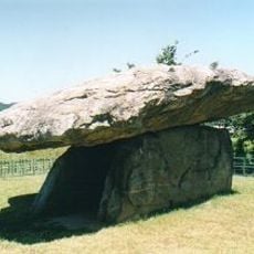
Gochang, Hwasun and Ganghwa Dolmen Sites
39.1 km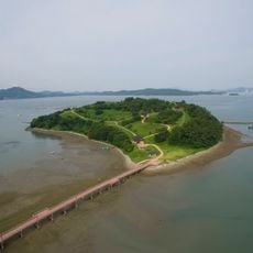
Cheonghaejin
31.4 km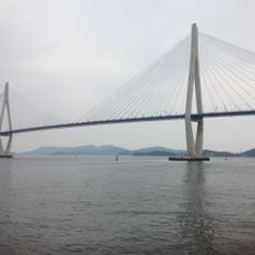
Mokpo Bridge
41.3 km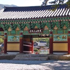
Daeheungsa
23 km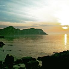
Dadohaehaesang National Park
50.5 km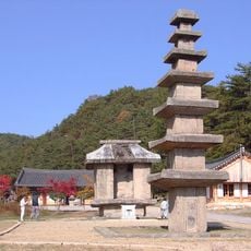
Unjusa
33.3 km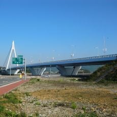
Wando Bridge
29.7 km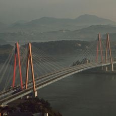
Jindo Bridge
43.3 km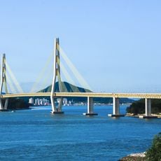
Geogeum Bridge
36.4 km
Gwangju Metropolitan Office of Education
57.3 km
Gangjingun Kiln Sites
15.3 km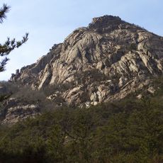
Wolchulsan National Park
14.4 km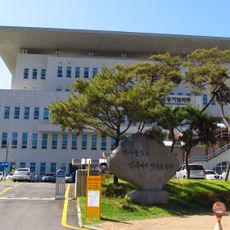
Gwangju Student Independence Movement Memorial Hall
56.5 km
해남 전라우수영
42.9 km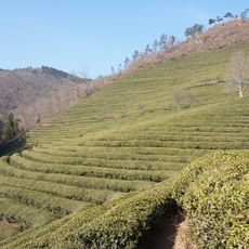
Daehan Dawon Boseong Green tea Plantation
29.5 km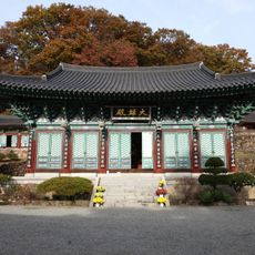
Baengnyeonsa
6.2 km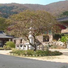
Geumtapsa
48.7 km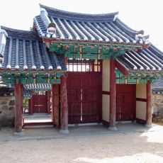
Ssangchungsa
35.5 km
Wando Arboretum
33.4 km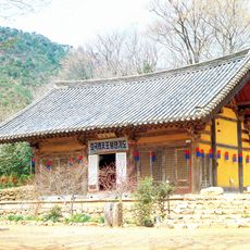
Muwisa
13.3 km
Wando Tower
36.4 km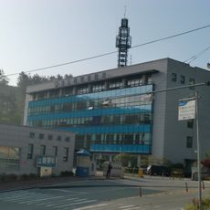
Wando Coast Guard Station
37 km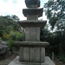
해남 대흥사 북미륵암 삼층석탑
23.1 km
Suseongsong Pine Tree
17.4 km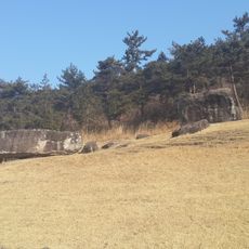
Hwasun Dolmen Site
40.3 km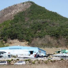
Hodam Air and Space Center
43 kmReviews
Visited this place? Tap the stars to rate it and share your experience / photos with the community! Try now! You can cancel it anytime.
Discover hidden gems everywhere you go!
From secret cafés to breathtaking viewpoints, skip the crowded tourist spots and find places that match your style. Our app makes it easy with voice search, smart filtering, route optimization, and insider tips from travelers worldwide. Download now for the complete mobile experience.

A unique approach to discovering new places❞
— Le Figaro
All the places worth exploring❞
— France Info
A tailor-made excursion in just a few clicks❞
— 20 Minutes