Joan-myeon, 경기도 남양주시의 하위 행정구역
Location: Namyangju
Website: http://www.nyj.go.kr/town/joan/index.jsp
Website: http://nyj.go.kr/town/joan
GPS coordinates: 37.56471,127.29774
Latest update: August 24, 2025 18:30
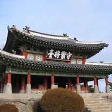
Namhansanseong
14.1 km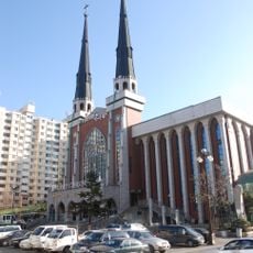
Myungsung Presbyterian Church
13.3 km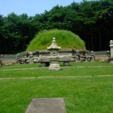
Tonggurung
16 km
Hongyureung
10.7 km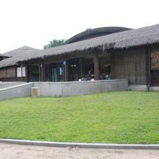
Collection of prehistory of the Amsa Prehistoric Museum
14.8 km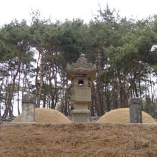
Гробница Кванхэ-гуна
13.6 km
아쿠아필드
6.8 km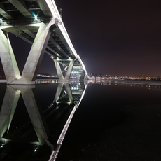
Guri–Amsa Bridge
14.6 km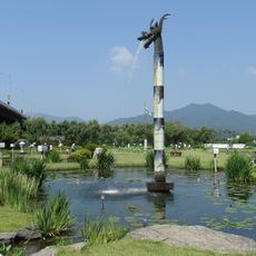
Semiwon
3.6 km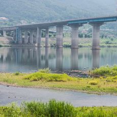
Paldang Bridge
5.7 km
Gangdong Bridge
12.1 km
Misa Bridge
9 km
Sareung
11.4 km
Paldang Lake
6.5 km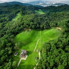
Hyeolleung
16 km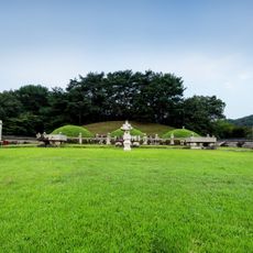
Gyeongneung
15.8 km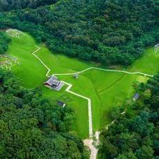
Mongneung
16 km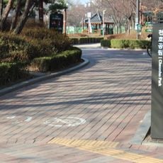
Cheonho Park
15.3 km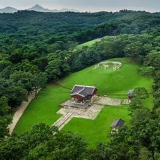
Sureung
15.8 km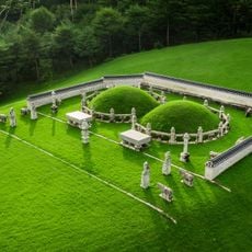
Wolleung
15.8 km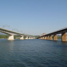
Yangsu Railway Bridge
2.2 km
Silhak Museum
5.4 km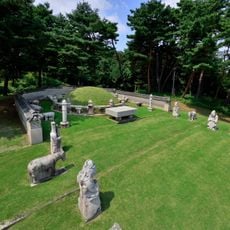
Hyereung
15.8 km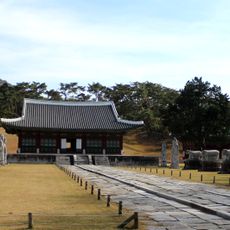
Concession funéraire de la reine Min
10.7 km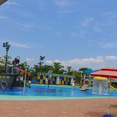
Union Park Water Park
7.2 km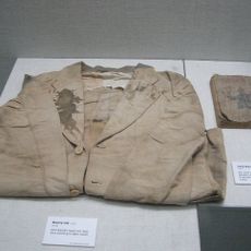
여운형 혈의
7.3 km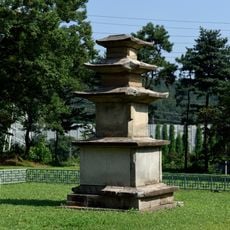
하남 동사지 삼층석탑
11.2 km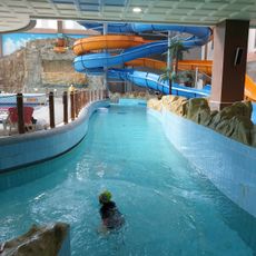
아쿠아 조이
11.6 kmReviews
Visited this place? Tap the stars to rate it and share your experience / photos with the community! Try now! You can cancel it anytime.
Discover hidden gems everywhere you go!
From secret cafés to breathtaking viewpoints, skip the crowded tourist spots and find places that match your style. Our app makes it easy with voice search, smart filtering, route optimization, and insider tips from travelers worldwide. Download now for the complete mobile experience.

A unique approach to discovering new places❞
— Le Figaro
All the places worth exploring❞
— France Info
A tailor-made excursion in just a few clicks❞
— 20 Minutes