
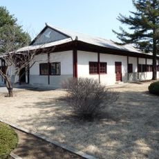
연천 유엔군 화장장 시설, building in South Korea
Location: Misan-myeon (baranggay sa Habagatang Korea)
Location: Yeoncheon County
Location: Gyeonggi
Inception: 1952
Creator: United Nations Command
GPS coordinates: 38.02278,126.99417
Latest update: March 10, 2025 07:46
North Korea Peace Museum
29.8 km
Imjingak
26.8 km
Dora Observatory
28.3 km
Gloucester Valley Battle Monument
10.1 km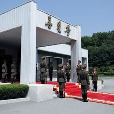
Unification Pavilion
28.8 km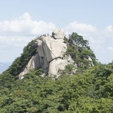
Suraksan
36.8 km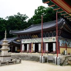
Bongseonsa
34.9 km
Tongil Bridge
25.8 km
Korea National Arboretum
33.4 km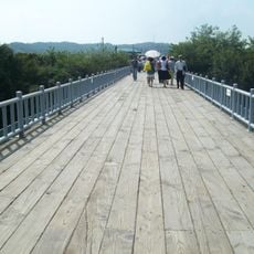
Bridge of Freedom
26.9 km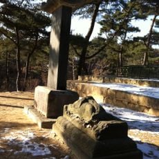
Hoeamsa
21.7 km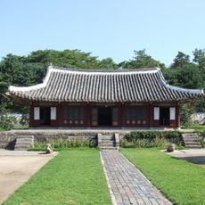
Koryo Songgyungwan
37.3 km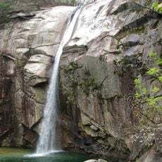
Pakyon Falls
37.7 km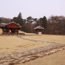
Samneung
34.1 km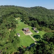
Gongneung
34 km
Mangwolsa
35.5 km
Koryo Museum
37.3 km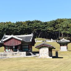
Jangneung
37.4 km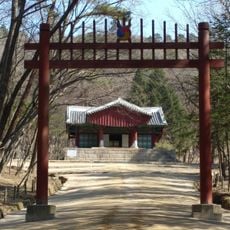
Gwangneung
34 km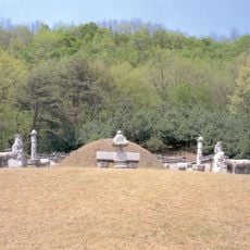
Olleung
33.9 km
Kaesong Walls
37.2 km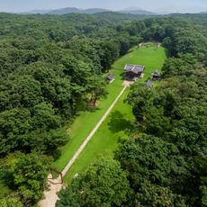
Sulleung
34 km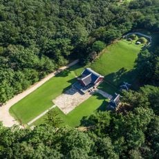
Yeongneung
34 km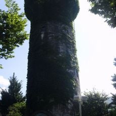
Water Tower at Yeoncheon Station
11.2 km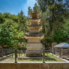
현등사 삼층석탑
34.1 km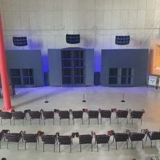
Concino Concrete Concert Hall
37 km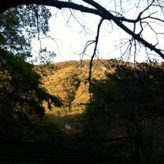
Soyosan
12.2 km
Chuktae-ho
34.7 kmReviews
Visited this place? Tap the stars to rate it and share your experience / photos with the community! Try now! You can cancel it anytime.
Discover hidden gems everywhere you go!
From secret cafés to breathtaking viewpoints, skip the crowded tourist spots and find places that match your style. Our app makes it easy with voice search, smart filtering, route optimization, and insider tips from travelers worldwide. Download now for the complete mobile experience.

A unique approach to discovering new places❞
— Le Figaro
All the places worth exploring❞
— France Info
A tailor-made excursion in just a few clicks❞
— 20 Minutes