
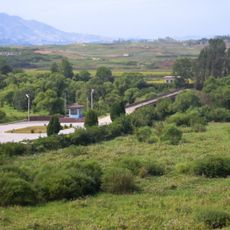
파주 경의선 장단역 죽음의 다리, جسر في كوريا الجنوبية
Location: Jangdan-myeon
Location: Paju
Location: Gyeonggi
GPS coordinates: 37.90361,126.69694
Latest update: April 6, 2025 09:09
Bridge of No Return
6.3 km
North Korea Peace Museum
7 km
Imjingak
4.1 km
Manwoldae
16.2 km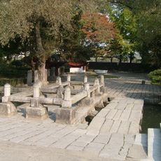
Sonjuk Bridge
18.7 km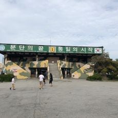
Dora Observatory
996 m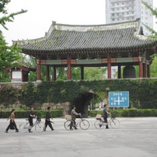
Historic Monuments and Sites in Kaesong
18.7 km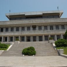
Phanmun Pavilion
6.1 km
Gloucester Valley Battle Monument
21.7 km
Mt. Ohdu Unification Observatory
14.6 km
Unification Pavilion
6.3 km
Tongil Bridge
4 km
Koryo Songgyungwan University
14.4 km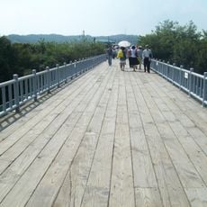
Bridge of Freedom
4 km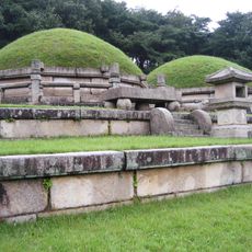
Tomb of King Kongmin
21.5 km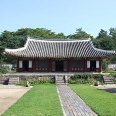
Koryo Songgyungwan
14.8 km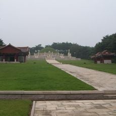
Tomb of King Wanggon
19 km
Sungyang Academy
13.8 km
Namdaemun
14.2 km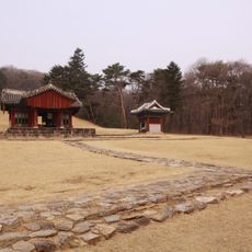
Samneung
21.2 km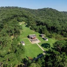
Gongneung
21 km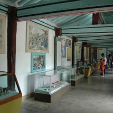
Koryo Museum
14.8 km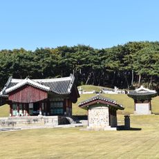
Jangneung
14.5 km
Kaesong Walls
14.4 km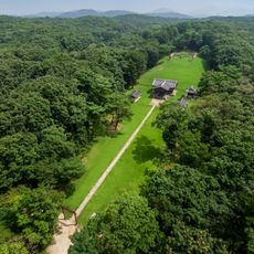
Sulleung
21.6 km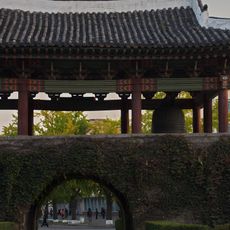
Yonboksa Bell
14.5 km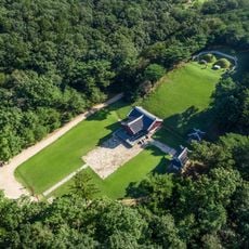
Yeongneung
21 km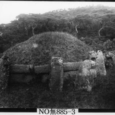
Heolleung
21.6 kmReviews
Visited this place? Tap the stars to rate it and share your experience / photos with the community! Try now! You can cancel it anytime.
Discover hidden gems everywhere you go!
From secret cafés to breathtaking viewpoints, skip the crowded tourist spots and find places that match your style. Our app makes it easy with voice search, smart filtering, route optimization, and insider tips from travelers worldwide. Download now for the complete mobile experience.

A unique approach to discovering new places❞
— Le Figaro
All the places worth exploring❞
— France Info
A tailor-made excursion in just a few clicks❞
— 20 Minutes