
Šalčininkai, city
Location: Šalčininkai District Municipality
Elevation above the sea: 181 m
Website: http://salcininkai.lt
GPS coordinates: 54.31111,25.38056
Latest update: April 16, 2025 15:19
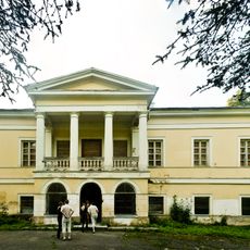
Jašiūnai Manor
14.6 km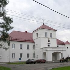
Hajciuniški Castle
7.5 km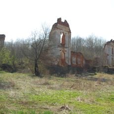
Merkinė Manor
17.2 km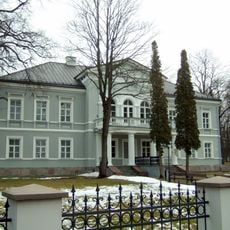
Šalčininkai Manor
835 m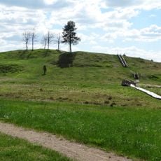
Bėčionys hillfort
17.5 km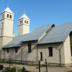
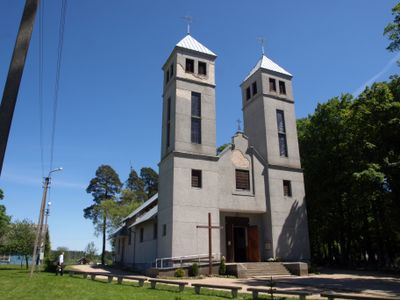
Church of St. Peter, Šalčininkai
1.4 km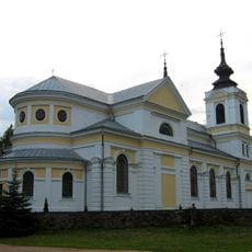
Church of Saint John the Baptist in Bieniakoni
7.3 km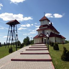
Church of St. Anne, Jašiūnai
14.8 km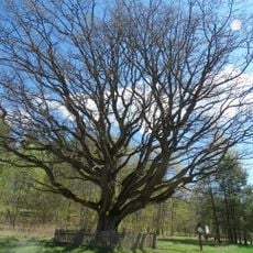
Stakai oak
11.4 km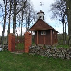
Chapel, Sangėliškės
8.5 km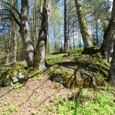
Stakų konglomerato luistai
11.4 km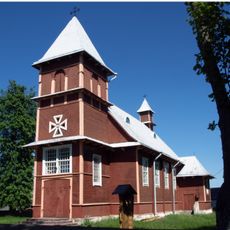
Saint Therese of the Child Jesus church in Akmenynė
10.4 km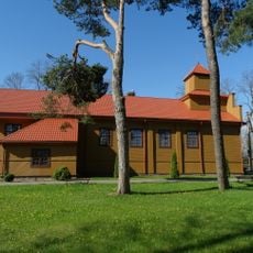
Church of St. Michael the Archangel, Butrimonys
15.4 km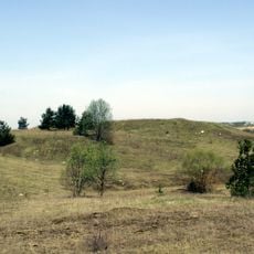
Turgeliai hillfort
17.1 km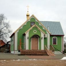
Saint Tikhon of Moscow Orthodox chapel in Šalčininkai
1 km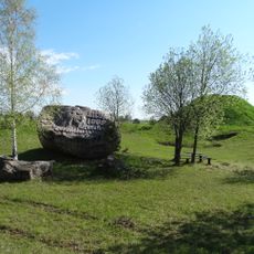
Rezius
17.6 km
Kurmelionys hillfort
13.7 km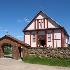
Church of St. George, Šalčininkėliai
7.4 km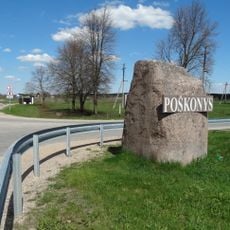
Poškonių akmuo
15.9 km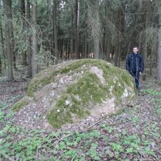
Kaniūkų akmuo
9.3 km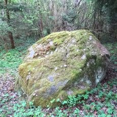
Cegelnios akmuo
4.6 km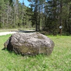
Dailidžių stone
13 km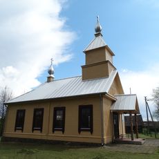
Old Believers Church in Gojus
12.6 km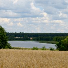
Jurgionių tvenkinys
14.2 km
Stakai Landscape Reserve
11.2 km
Reformed church in Hajciuniški
7.5 km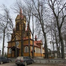
Касцёл Найсвяцейшага Сэрца Ісуса
10.8 km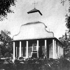
Стары Касцёл Святога Яна Хрысціцеля, Беняконі
6.6 kmReviews
Visited this place? Tap the stars to rate it and share your experience / photos with the community! Try now! You can cancel it anytime.
Discover hidden gems everywhere you go!
From secret cafés to breathtaking viewpoints, skip the crowded tourist spots and find places that match your style. Our app makes it easy with voice search, smart filtering, route optimization, and insider tips from travelers worldwide. Download now for the complete mobile experience.

A unique approach to discovering new places❞
— Le Figaro
All the places worth exploring❞
— France Info
A tailor-made excursion in just a few clicks❞
— 20 Minutes