
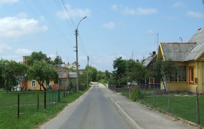
Švenčionėliai, city in Lithuania
Location: Švenčionys District Municipality
Elevation above the sea: 158 m
Website: http://svencionys.lt/lit/I_pradzia
GPS coordinates: 55.16667,26.00000
Latest update: March 25, 2025 13:13
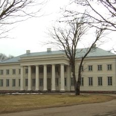
Cirkliškis Manor
10.3 km
Holy Trinity Orthodox church in Švenčionys
10.6 km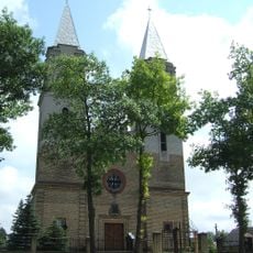
Church of Virgin Mary of Sorrows in Švenčionėliai
685 m
Church of All Saints, Švenčionys
10.7 km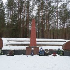
Švenčionėliai Holocaust Memorial
1.2 km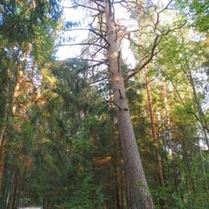
Argirdiškės pušis
11 km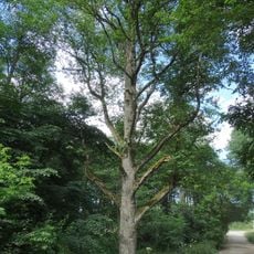
Juodalksnis Gumbulis
10.3 km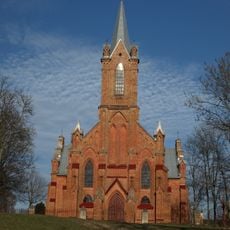
Church of Saint Mary of the Angels, Kaltanėnai
9.5 km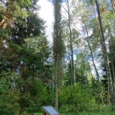
Gaigalinio kadagys
7.4 km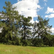
Januliškio maumedžiai
10.3 km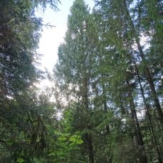
Peršokšnos piramidinė eglė
9.7 km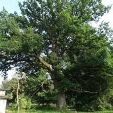
Laužėnų ąžuolas
10.3 km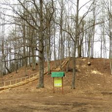
Grodzisko Cerkliszki
10.8 km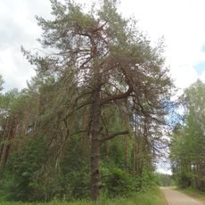
Lūšnios pušis
10.9 km
Pagilūtė Telmological Reserve
10 km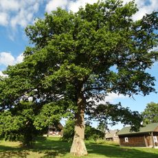
Kretuonių antrasis ąžuolas
7.9 km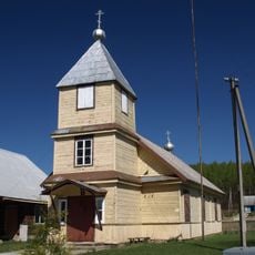
Old Believers Church in Švenčionys
11.6 km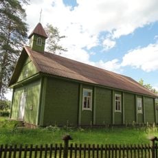
Januliškis chapel
10.1 km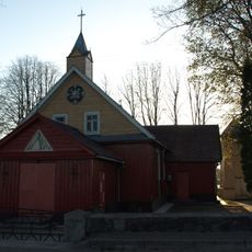
Church of Saint Isidore, Reškutėnai
11.8 km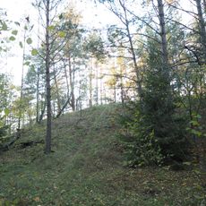
Bogutiškė hillfort
7.4 km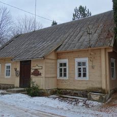
Reškutėnų muziejus
12.5 km
Kretuonų pilkapynas
7.7 km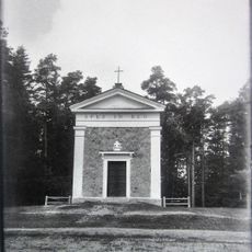
Cirkliškis manor chapel
9.9 km
Paduobės piliakalnis
4.3 km
Sudotos pilkapynas
5.5 km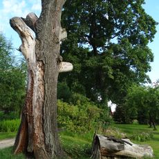
Kretuonių pirmasis ąžuolas
7.7 km
Góra zamkowa w Rogoszczyźnie
6.8 km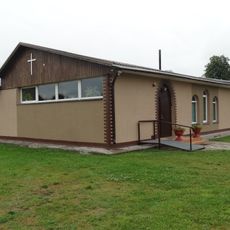
Pentecostal church in Švenčionys
11.1 kmReviews
Visited this place? Tap the stars to rate it and share your experience / photos with the community! Try now! You can cancel it anytime.
Discover hidden gems everywhere you go!
From secret cafés to breathtaking viewpoints, skip the crowded tourist spots and find places that match your style. Our app makes it easy with voice search, smart filtering, route optimization, and insider tips from travelers worldwide. Download now for the complete mobile experience.

A unique approach to discovering new places❞
— Le Figaro
All the places worth exploring❞
— France Info
A tailor-made excursion in just a few clicks❞
— 20 Minutes