
Smalininkai, human settlement
Location: Jurbarkas District Municipality
Elevation above the sea: 27 m
GPS coordinates: 55.07500,22.57778
Latest update: April 16, 2025 11:04
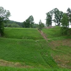
Sudargas hillforts
5.4 km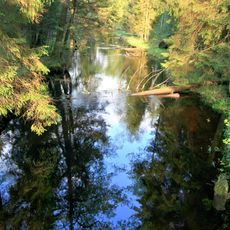
Viešvilė Reserve
12.1 km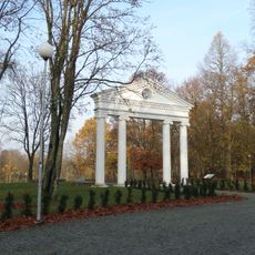
Jurbarkas Manor
11.4 km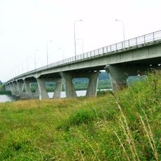
Jurbarkas Bridge
12.1 km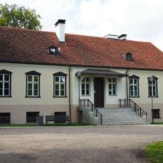
Kidulių dvaras
13.1 km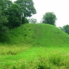
Bišpilis
11.5 km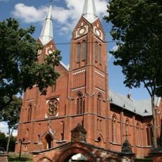
Church of the Holy Trinity, Jurbarkas
11.9 km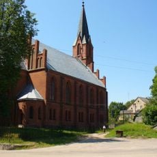
Kirche Lasdehnen
14.9 km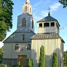
Church of St. Mary Magdalene in Girdžiai
17 km
Church of the transfiguration of Jesus Christ, Viešvilė
12.2 km
Evangelical Lutheran Church in Viešvilė
11.8 km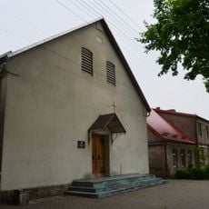
Evangelical Lutheran Church in Smalininkai
0 m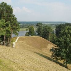
Burgaičių piliakalniai
4.5 km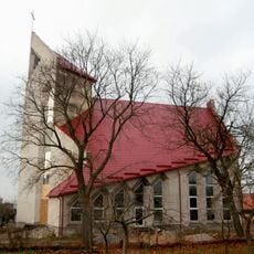
Evangelical Lutheran Church in Jurbarkas
12.3 km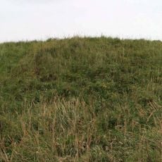
Kalnėnai hillfort
10.7 km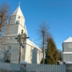
Church of St. Michael the Archangel, Kaimelis
14.5 km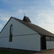
Evangelical Lutheran Church in Sudargas
5.3 km
Girdžių tvenkinys
18.1 km
Church of St. Anne, Slavikai
17.2 km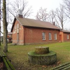
Church of St. Joseph, Smalininkai
307 m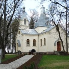
Orthodox church of the Transfiguration of Jesus Christ in Jurbarkas
11.5 km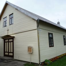
Church of St. John the Baptist, Sudargas
5.4 km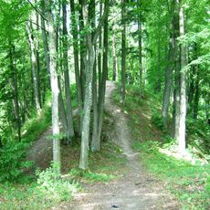
Kiukiškiai hillfort
18 km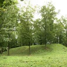
Antakalniškiai hillfort
17.4 km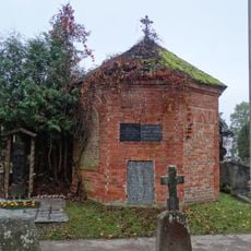
Jurbarkas, cemetery chapel
11.3 km
Meškininkų piliakalnis
9.5 km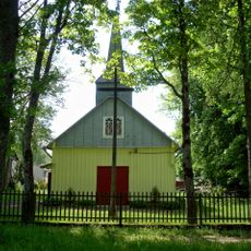
Church of St. John the Baptist, Vertimai
11.4 km
Saints Peter and Paul Orthodox church in Krasnoznamensk
14.9 kmReviews
Visited this place? Tap the stars to rate it and share your experience / photos with the community! Try now! You can cancel it anytime.
Discover hidden gems everywhere you go!
From secret cafés to breathtaking viewpoints, skip the crowded tourist spots and find places that match your style. Our app makes it easy with voice search, smart filtering, route optimization, and insider tips from travelers worldwide. Download now for the complete mobile experience.

A unique approach to discovering new places❞
— Le Figaro
All the places worth exploring❞
— France Info
A tailor-made excursion in just a few clicks❞
— 20 Minutes