
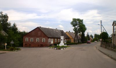
Betygala, town in Samogitia, Lithuania
Location: Raseiniai District Municipality
Elevation above the sea: 100 m
GPS coordinates: 55.36111,23.36667
Latest update: March 30, 2025 23:52
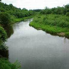
Dubysa Regional Park
3.3 km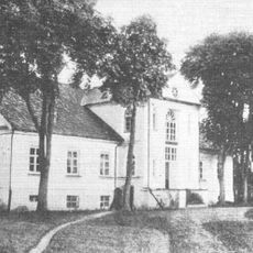
Burbiškiai Manor
1.3 km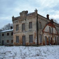
Žibuliai manor
9.9 km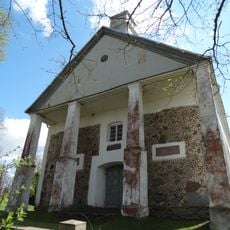
Church of the Assumption, Ugioniai
5 km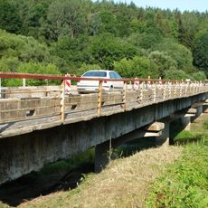
Ariogala bridge
10.4 km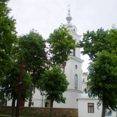
Church of St. Nicholas, Betygala
187 m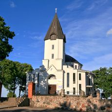
Church of St. George, Girkalnis
11.5 km
Ugionių šaltinis
5 km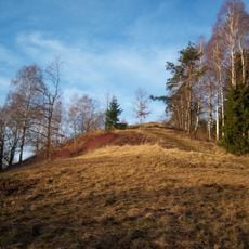
Padubysys hillfort
9 km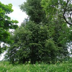
Kengių liepa
7.4 km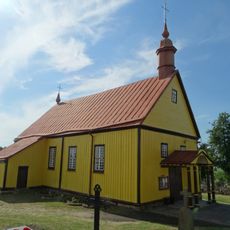
Church of the Holy Cross in Paliepiai
11.1 km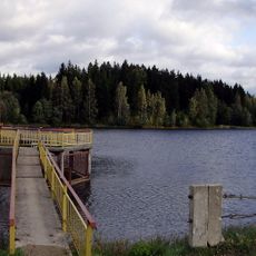
Kaulakių tvenkinys
9.2 km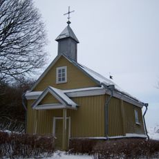
Ugioniai chapel
5 km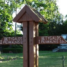
Betygalos piliakalniai
1.4 km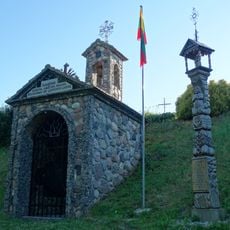
Chapel of Partizans, Ariogala
11.7 km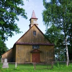
Christ church in Milašaičiai
4.3 km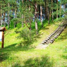
Kejėnai hillfort
6.6 km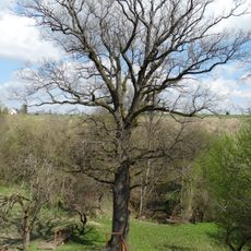
Mikalojaus Daukšos ąžuolas
358 m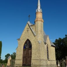
Betygala cemetery chapel
1.3 km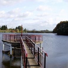
Anulyno tvenkinys
11 km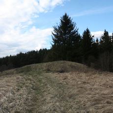
Ročiškė hillfort
5.8 km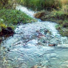
Palono botaninis draustinis
10.2 km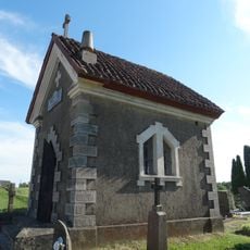
Paliepiai cemetery chapel
11 km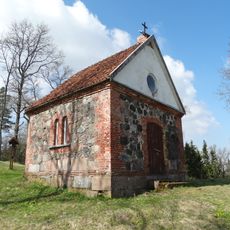
Betygala hillfort chapel
1.4 km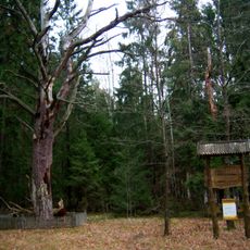
Vienišoji Zvėgių miško pušis
10.2 km
Ginaičių piliakalnis
7.4 km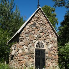
Lepšiškė chapel
11.5 km
Zvėgių piliakalnis
10.1 kmReviews
Visited this place? Tap the stars to rate it and share your experience / photos with the community! Try now! You can cancel it anytime.
Discover hidden gems everywhere you go!
From secret cafés to breathtaking viewpoints, skip the crowded tourist spots and find places that match your style. Our app makes it easy with voice search, smart filtering, route optimization, and insider tips from travelers worldwide. Download now for the complete mobile experience.

A unique approach to discovering new places❞
— Le Figaro
All the places worth exploring❞
— France Info
A tailor-made excursion in just a few clicks❞
— 20 Minutes