
Akademija, Kaunas, human settlement in Lithuania
Location: Kaunas District Municipality
Elevation above the sea: 94 m
GPS coordinates: 54.89444,23.83611
Latest update: September 14, 2025 12:16
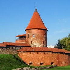
Kaunas Castle
3.2 km
Kaunas Fortress
3.2 km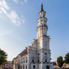
Town Hall
3.2 km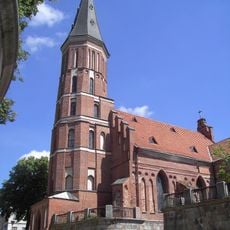
Church of Vytautas the Great, Kaunas
3.2 km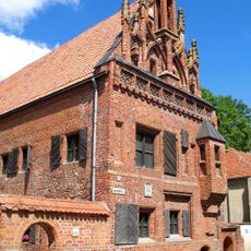
House of Perkūnas
3.2 km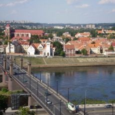
Vytautas the Great Bridge
3.3 km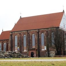
Church of St. George
3.1 km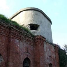
I Fort
2.1 km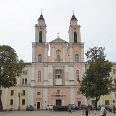
Church of St. Francis Xavier
3.2 km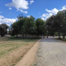
Santakos parkas
2.8 km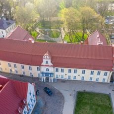
Siručiai Palace
3.1 km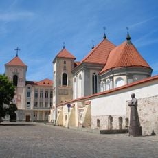
Church of the Holy Trinity, Kaunas
3.2 km
Lampėdžiai Bridge
1.4 km
Kamša Botanical-Zoological Reserve
2.9 km
Old Kaunas Dukes Palace
3.3 km
Veršvai hillfort
2.6 km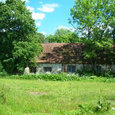
Marva mõis
768 m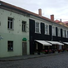
Zabieliai Palace
3.2 km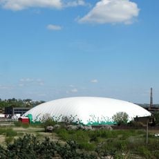
Vilijampolė inflatable arena
1.7 km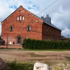
Noreikiškės Manor
1.6 km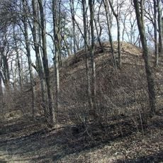
Marvelė hillfort
665 m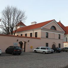
Communication History Museum
3.1 km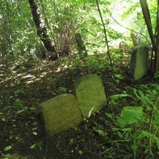
Vilijampolė Jewish cemetery
2.9 km
Ritterswerder
2.2 km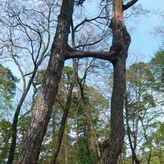
Pušys Sesės
2.2 km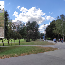
Žmogus-kankorėžis
2.9 km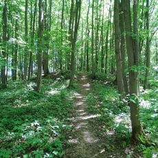
2. grodzisko w Marwiance
1.2 km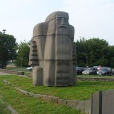
Kanklininkas
3.3 kmReviews
Visited this place? Tap the stars to rate it and share your experience / photos with the community! Try now! You can cancel it anytime.
Discover hidden gems everywhere you go!
From secret cafés to breathtaking viewpoints, skip the crowded tourist spots and find places that match your style. Our app makes it easy with voice search, smart filtering, route optimization, and insider tips from travelers worldwide. Download now for the complete mobile experience.

A unique approach to discovering new places❞
— Le Figaro
All the places worth exploring❞
— France Info
A tailor-made excursion in just a few clicks❞
— 20 Minutes