
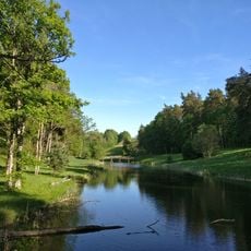
Ālave, dorp in Letland
Location: Penkule Parish
Elevation above the sea: 54 m
GPS coordinates: 56.50250,23.21417
Latest update: April 4, 2025 22:44
Tērvete Nature Park
10.6 km
Pokaiņi Forest
11.9 km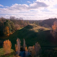
Tērvete hillfort
10.8 km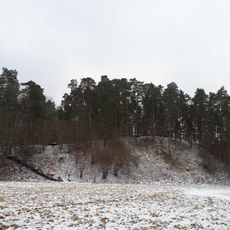
Svētkalns
10.7 km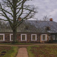
Sprīdīši
10.2 km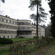
Tērvete Sanatorium
11.2 km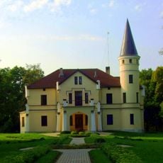
Bēne Manor
9.4 km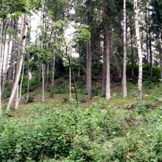
Spārnu hillfort
11.8 km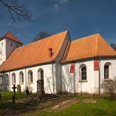
Kalnamuiža Lutheran church in Tērvete
10.5 km
Mežmuiža Church in Augstkalne
13 km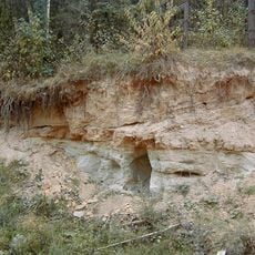
Klūnu atsegums
5.2 km
Garākalna smilšu krupja atradne
8.1 km
Ogānu pilskalns
9.7 km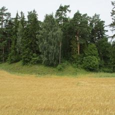
Kamradžu pilskalns
6.1 km
Dēliņkalns hillfort
2.8 km
Vecapguldes muižas apbūve
3.9 km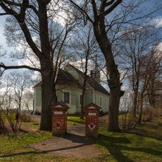
Lutheran church in Penkule
2.5 km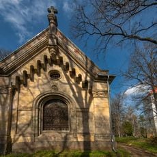
Chapel of the Count Pahlen in Tērvete
10.5 km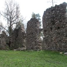
Tērvete Castle ruins
10.9 km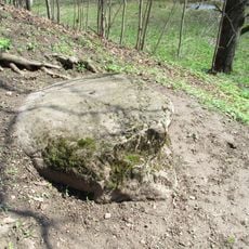
Upurakmens
10.7 km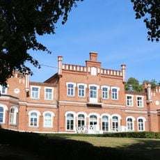
Mežmuiža Manor House
13.1 km
Kungu māja
132 m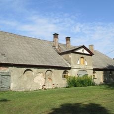
Stallis
5.2 km
Kungu māja
5.2 km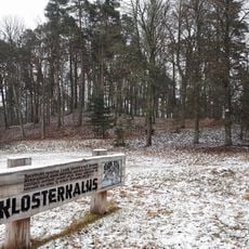
Klosterkalns
10.7 km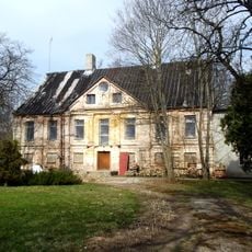
Pils
3.9 km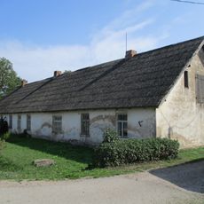
Kalpu māja
5.2 km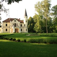
Bēne Manor house
9.3 kmReviews
Visited this place? Tap the stars to rate it and share your experience / photos with the community! Try now! You can cancel it anytime.
Discover hidden gems everywhere you go!
From secret cafés to breathtaking viewpoints, skip the crowded tourist spots and find places that match your style. Our app makes it easy with voice search, smart filtering, route optimization, and insider tips from travelers worldwide. Download now for the complete mobile experience.

A unique approach to discovering new places❞
— Le Figaro
All the places worth exploring❞
— France Info
A tailor-made excursion in just a few clicks❞
— 20 Minutes