
Jaunsvirlauka, centro abitato lettone
Location: Jaunsvirlauka Parish
GPS coordinates: 56.50167,23.93639
Latest update: April 4, 2025 16:38

Rundāle Palace
11.2 km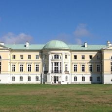
Mežotne Manor
10.1 km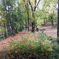
Mežotne hillfort
9.5 km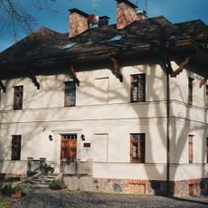
Mazmežotnes muiža
10.4 km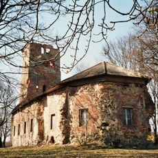
Mežotne church
9.3 km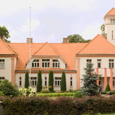
Memorial museum of Jānis Čakste "Auči"
10.4 km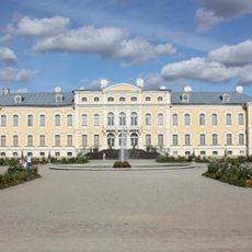
Rundale Palace Museum
11.2 km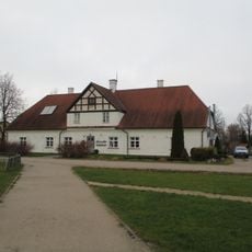
Baltā māja
11.2 km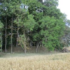
Līču pilskalns
10.9 km
Griestu gleznojumi (7 telpās)
11.2 km
Saimniecības ēkas (2)
10 km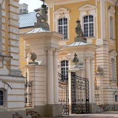
Vārti un žogs
11.2 km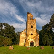
Lutheran church in Salgale
4.3 km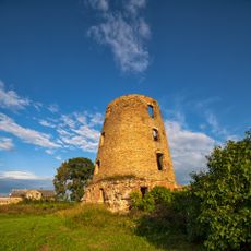
Emburga windmill
6 km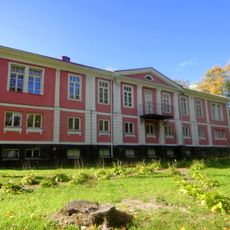
Kungu māja
8 km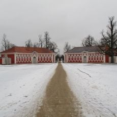
Stables of Rundāle Palace
11.2 km
Kalte
9.5 km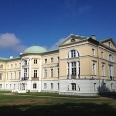
Mežotne Palace
10.1 km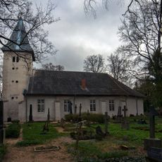
Lutheran church in Lielvircava
11.1 km
Vīna kalns
9.8 km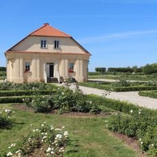
Rundāle gardener's house
11.2 km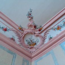
Griestu un sienu mākslinieciskā apdare (29 telpās)
11.2 km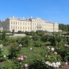
Pils
11.2 km
Emburgas pilskalns
6.8 km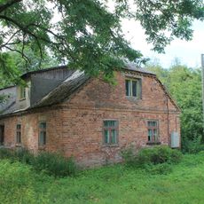
Franksesavas muižas apbūve
9.5 km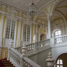
Kāpnes (2)
11.2 km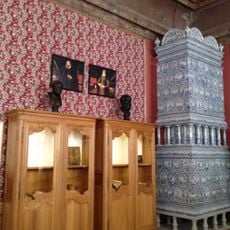
Krāsnis (3)
11.2 km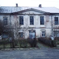
Jaunsvirlaukas muižas kungu māja
309 mReviews
Visited this place? Tap the stars to rate it and share your experience / photos with the community! Try now! You can cancel it anytime.
Discover hidden gems everywhere you go!
From secret cafés to breathtaking viewpoints, skip the crowded tourist spots and find places that match your style. Our app makes it easy with voice search, smart filtering, route optimization, and insider tips from travelers worldwide. Download now for the complete mobile experience.

A unique approach to discovering new places❞
— Le Figaro
All the places worth exploring❞
— France Info
A tailor-made excursion in just a few clicks❞
— 20 Minutes