
Sidi Boulenouar, rural commune in Morocco
Location: Oujda-Angad Prefecture
GPS coordinates: 34.50528,-2.16583
Latest update: March 4, 2025 07:31

Taforalt Cave
40.6 km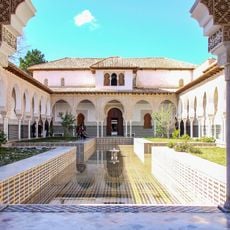
El Mechouar Palace
88.9 km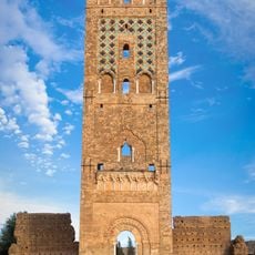
Mansourah Mosque
85.9 km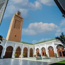
Great Mosque of Tlemcen
88.9 km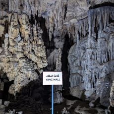
Beni Add Caves
96.1 km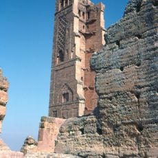
Tlemcen National Park
68.5 km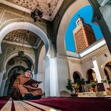
Sidi Boumediene Mosque
90.3 km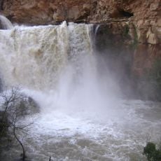
El-Ourit Waterfalls
91.4 km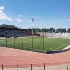
Honneur Stadium
27.3 km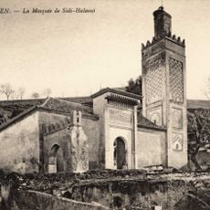
Sidi El Haloui Mosque
89.3 km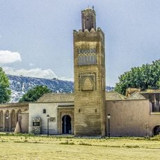
El Mechouar Mosque
88.8 km
Great Mosque of Nedroma
67.8 km
Sidi Bel Hasan Mosque
88.8 km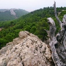
Parc Sidi Mâafa
29 km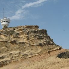
Ras Lma lighthouse
75.3 km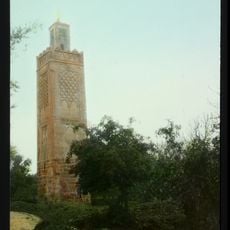
Agadir Mosque
90 km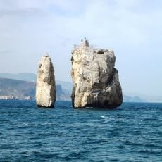
Ghazaouet Lighthouse
71.8 km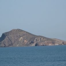
Islas Chafarinas
79.1 km
Ghar Boumâaza
81.2 km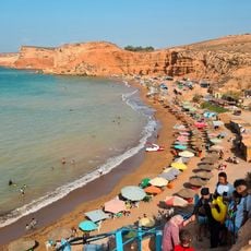
Plage Sid El Bachir
72.8 km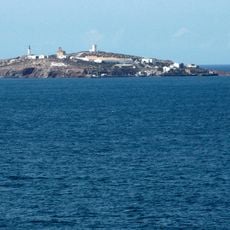
Isla de Isabel II Lighthouse
79.3 km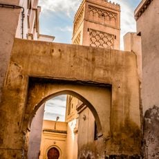
Grand Mosque of Oujda
30.2 km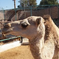
El Hadj Aissa Zoo
85.9 km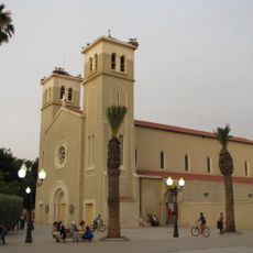
Oujda Cathedral
29.9 km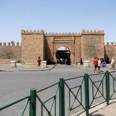
Bab Sidi Abd El Wahab
30.4 km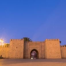
Bab Sidi Aissa
29.9 km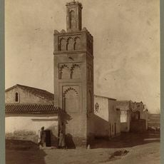
Bab Zir Mosque
89.3 km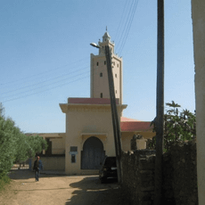
Sidi Ali Oussaïd Mosque
42.2 kmReviews
Visited this place? Tap the stars to rate it and share your experience / photos with the community! Try now! You can cancel it anytime.
Discover hidden gems everywhere you go!
From secret cafés to breathtaking viewpoints, skip the crowded tourist spots and find places that match your style. Our app makes it easy with voice search, smart filtering, route optimization, and insider tips from travelers worldwide. Download now for the complete mobile experience.

A unique approach to discovering new places❞
— Le Figaro
All the places worth exploring❞
— France Info
A tailor-made excursion in just a few clicks❞
— 20 Minutes