
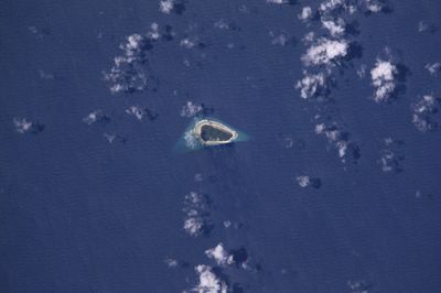
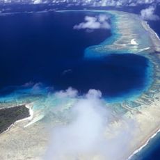
Jabat Island, island
Location: Marshall Islands
Part of: Marshall Islands
GPS coordinates: 7.75153,168.97743
Latest update: March 7, 2025 03:02
Bikini Atoll
581 km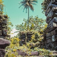
Nan Madol
1179.7 km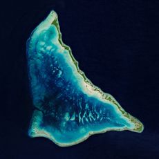
Tarawa
832.9 km
Nauru Regional Processing Centre
950.7 km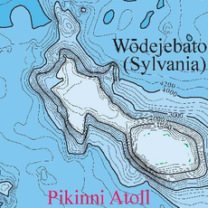
Sylvania Tablemount
647.3 km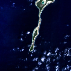
Makin
659.5 km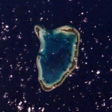
Abemama
982.5 km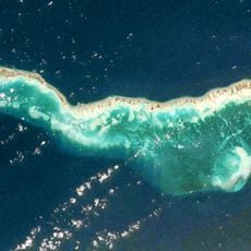
Tabiteuea
1202.3 km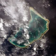
Abaiang
792.5 km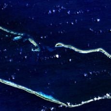
Majuro Atoll
266.7 km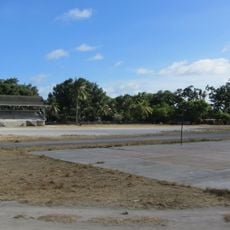
Bairiki National Stadium
841.4 km
Command Ridge
949.9 km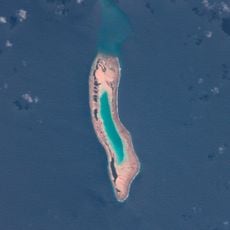
Knox Atoll
408.4 km
Linkbelt Oval
950.5 km
Te Umanibong
846.4 km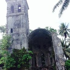
Catholic Belltower
1191.7 km
Sacred Heart Cathedral
842.8 km
State House
951.1 km
Meneng Stadium
950.6 km
Christ the King Church, Arubo
946.8 km
Aiwo Harbour
950.5 km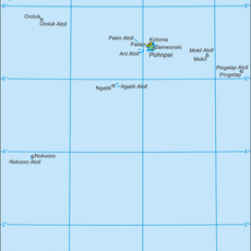
District des autres îles de Pohnpei
1311.2 km
Tabuarorae Village
1304.4 km
Otowae Village
1298.1 km
Bakarawa Village
1382.4 km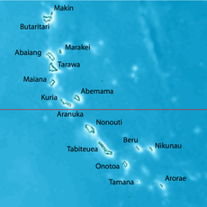
Temao Village
1292.7 km
Tekawa Village
1288.2 km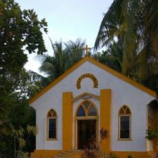
Kiribati National Tourism Office
837.6 kmReviews
Visited this place? Tap the stars to rate it and share your experience / photos with the community! Try now! You can cancel it anytime.
Discover hidden gems everywhere you go!
From secret cafés to breathtaking viewpoints, skip the crowded tourist spots and find places that match your style. Our app makes it easy with voice search, smart filtering, route optimization, and insider tips from travelers worldwide. Download now for the complete mobile experience.

A unique approach to discovering new places❞
— Le Figaro
All the places worth exploring❞
— France Info
A tailor-made excursion in just a few clicks❞
— 20 Minutes