
Arweicha, cliff in Tombouctou Region, Mali
Location: Timbuktu Region
Elevation above the sea: 157 m
GPS coordinates: 22.66833,-3.94722
Latest update: May 24, 2025 20:19
Timbuktu
663.7 km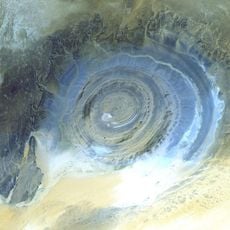
Richat Structure
788.8 km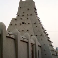
Sankore Madrasah
663.3 km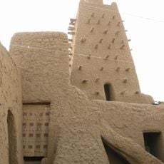
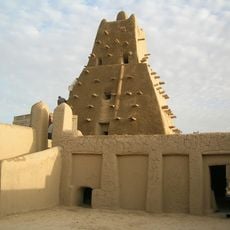
Djinguereber Mosque
663.7 km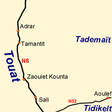
Tuat
641.2 km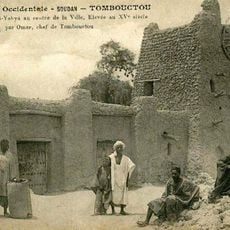
Sidi Yahya Mosque
663.7 km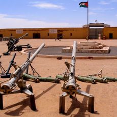
People's Liberation Army Museum
696.3 km
Aoukar Depression
778.3 km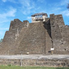
Castillo de Teayo
460.7 km
Museo Casa de Carranza
624.6 km
Chacchoben Archaeological Area
578.9 km
Museo de Linares A.C.
470.3 km
Museo de la Cerveza
591.1 km
Casa Maria Felix
627.4 km
Rene Caille House
663.7 km
Centro de Convenciones Bicentenario
431.2 km
Museo De La Memoria Viva
587.2 km
Museo Julio Galán
701.9 km
Plaza Principal
406.6 km
Timbuktu
663.5 km
Museo Tec Minero Siglo XIX
519.7 km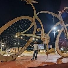
World's Biggest Bike
518.4 km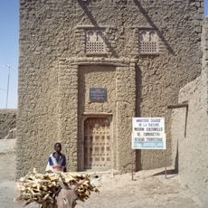
Gordon Laing House
663.6 km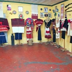
Museo Sergio Castro
779 km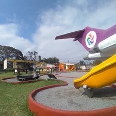
Avión de Orizaba
589.7 km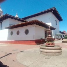
Sede Historica del Supremo Tribunal de Justicia de la Nación
562.8 km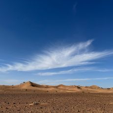
Mhamid el ghizlane desert
815.8 km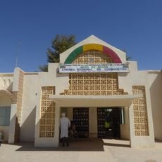
Regional Council of the Timbuktu Region
665.2 kmReviews
Visited this place? Tap the stars to rate it and share your experience / photos with the community! Try now! You can cancel it anytime.
Discover hidden gems everywhere you go!
From secret cafés to breathtaking viewpoints, skip the crowded tourist spots and find places that match your style. Our app makes it easy with voice search, smart filtering, route optimization, and insider tips from travelers worldwide. Download now for the complete mobile experience.

A unique approach to discovering new places❞
— Le Figaro
All the places worth exploring❞
— France Info
A tailor-made excursion in just a few clicks❞
— 20 Minutes