
Mong Hsat District, district in Shan State, Burma
Location: Shan State
Elevation above the sea: 598 m
GPS coordinates: 20.66667,99.03333
Latest update: March 5, 2025 05:13

Tham Luang
92.6 km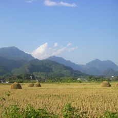
Doi Nang Non
92.2 km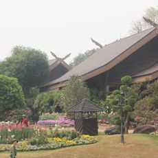
Doi Tung Royal Villa
91.3 km
Royal Agricultural Station Anghang
85.1 km
Doi Angkhan
88.8 km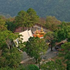
Doi Tung
91.2 km
Doi Pha Hom Pok National Park
76.5 km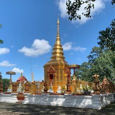
Wat Phra That Doi Wao
91.5 km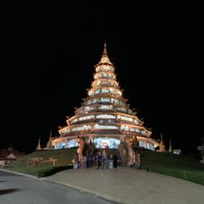
Wat Huai Pla Kang
113.5 km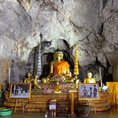
Wat Tham Phra
114.8 km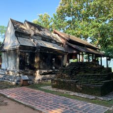
Wat Phra That Doi Pu Khao
114.8 km
Lam Nam Kok National Park
106.2 km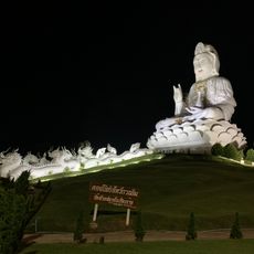
Great Guan Yin Statue, Wat Huay Pla Kang
113.5 km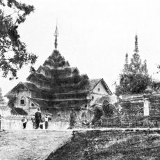
Maha Myat Muni Temple
91.3 km
Wat Thaton
74.8 km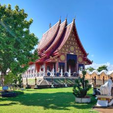
Wat Hiranyawat
98.5 km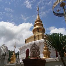
Wat Phra That Doi Ku Kaeo
109.9 km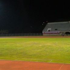
Mae Fah Luang University Stadium
112.7 km
Wat Santikhiri Yansang Wararam
82.7 km
Monghsat State
27 km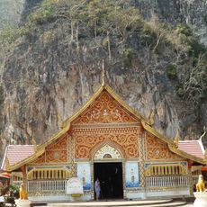
Wat Tham Pla
94.4 km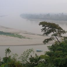
Laos–Myanmar–Thailand tripoint
114.9 km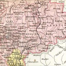
Mongpu State
39.3 km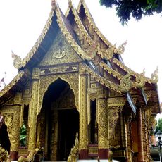
Wat Chedi Ngam
85.3 km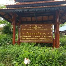
Wat Phrom Wihan
92.2 km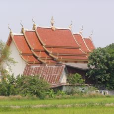
Wat Si Bun Yuen
105.9 km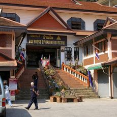
House of Opium
114.8 km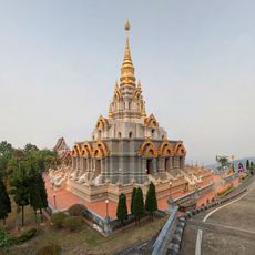
Phra Boromathat Chedi
82.8 kmReviews
Visited this place? Tap the stars to rate it and share your experience / photos with the community! Try now! You can cancel it anytime.
Discover hidden gems everywhere you go!
From secret cafés to breathtaking viewpoints, skip the crowded tourist spots and find places that match your style. Our app makes it easy with voice search, smart filtering, route optimization, and insider tips from travelers worldwide. Download now for the complete mobile experience.

A unique approach to discovering new places❞
— Le Figaro
All the places worth exploring❞
— France Info
A tailor-made excursion in just a few clicks❞
— 20 Minutes