
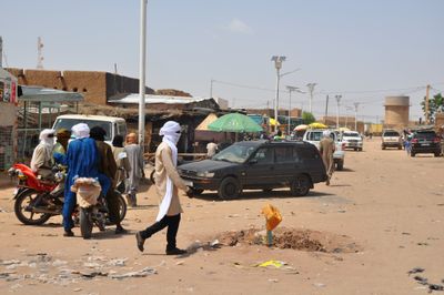
Ingall, rural commune in Niger
Location: Ingall Department
Elevation above the sea: 456 m
Shares border with: Goûgaram, Dannet, Dabaga, Tchirozérine Department, Tarka, Gadabédji, Abalak, Tamaya, Tassara, Tillia
GPS coordinates: 16.78550,6.93220
Latest update: April 18, 2025 21:38
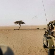
Tree of Ténéré
350.1 km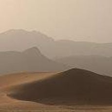
Aïr and Ténéré National Nature Reserve
412.9 km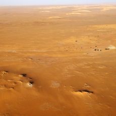
Gobero
277.2 km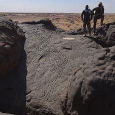
Dabous Giraffes
154.7 km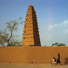
Agadez Mosque
114.4 km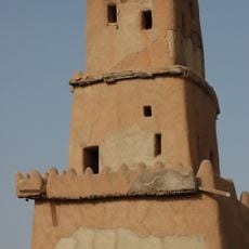
Gobarau Minaret
427.6 km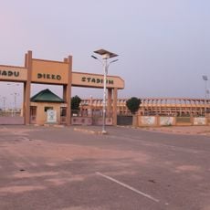
Muhammadu Dikko Stadium
430.7 km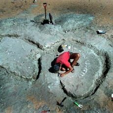
Gadoufaoua
264.8 km
Tiouraren Formation
97.9 km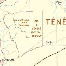
Aïr and Ténéré Addax Sanctuary
405.3 km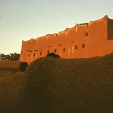
Sultan's palace of Agadez
114.5 km
Gadabedji Reserve
184 km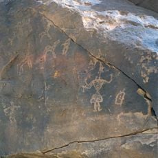
Tiguidit
112.7 km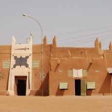
Sultan's palace of Zinder
400.4 km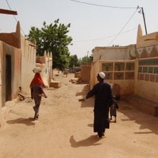
Birni
400.3 km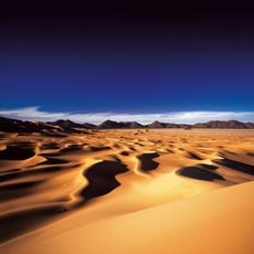
Arakao
370.1 km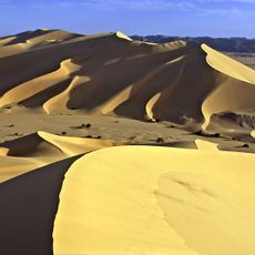
Témet
403.6 km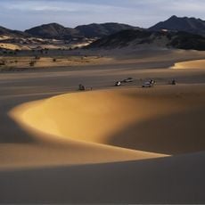
Takolokouzet
340.8 km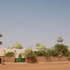
Zinder Grand Mosque
400.3 km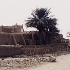
Hôtel de l'Aïr
114.5 km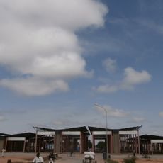
Grand Marché de Maradi
366.7 km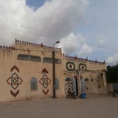
Sultan's palace of Maradi
366.8 km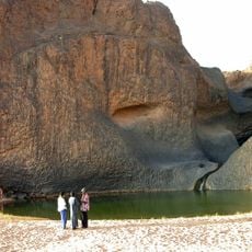
Cascade de Timia
242.9 km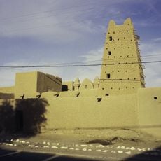
El Hadji Bianou Mosque
114.6 km
Anakom
362.9 km
Gobarau Minaret, katsina II
427.6 km
Tombs of the 99 saints
388.3 km
Classified Forest of Madarounfa
383.5 kmReviews
Visited this place? Tap the stars to rate it and share your experience / photos with the community! Try now! You can cancel it anytime.
Discover hidden gems everywhere you go!
From secret cafés to breathtaking viewpoints, skip the crowded tourist spots and find places that match your style. Our app makes it easy with voice search, smart filtering, route optimization, and insider tips from travelers worldwide. Download now for the complete mobile experience.

A unique approach to discovering new places❞
— Le Figaro
All the places worth exploring❞
— France Info
A tailor-made excursion in just a few clicks❞
— 20 Minutes