
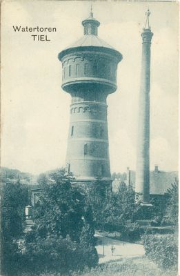
Oude watertoren Tiel, former watertower
Location: Tiel
Architects: Compagnie des Eaux d'Utrecht
GPS coordinates: 51.89050,5.44501
Latest update: March 2, 2025 23:09
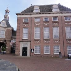
Flipje & Streekmuseum
575 m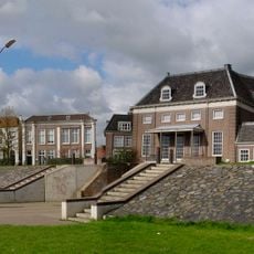
Waterpoort Tiel
566 m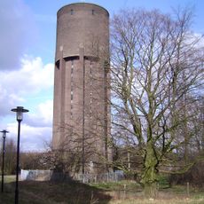
Watertoren Tiel
175 m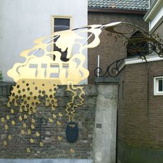
Joods monument
762 m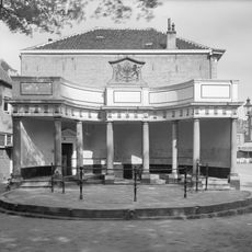
Vismarkt Tiel
568 m
Synagogue
770 m
Kerkstraat 23, Tiel
787 m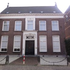
Ambtmanstraat 9, Tiel
816 m
Sint Agnietenstraat 26, Tiel
786 m
Koornmarkt 20, Tiel
707 m
Ambtmanstraat 12, Tiel
805 m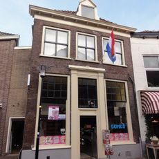
Westluidensestraat 3, Tiel
682 m
Gasthuisstraat 24, Tiel
773 m
Agnietenstraat 17, Tiel
778 m
Weerstraat 49, Tiel
645 m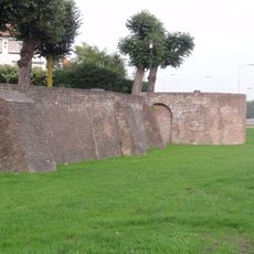
Vestingmuur Tolhuiswal
645 m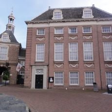
Plein 46
583 m
Sint Agnietenstraat 13, Tiel
773 m
Sint Agnietenstraat 21, Tiel
768 m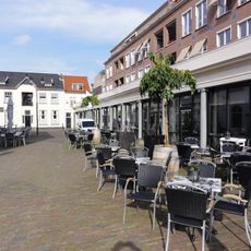
Korenbeurs
781 m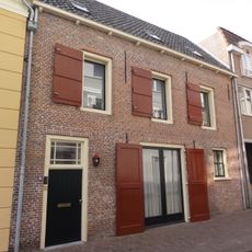
Pakhuis met verdieping en zadeldak. Vormt een geheel met het buurnummer 30
818 m
Kerkstraat 30, Tiel
818 m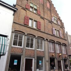
Weerstraat 47, Tiel
642 m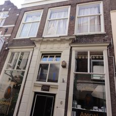
Kerkstraat 6, Tiel
755 m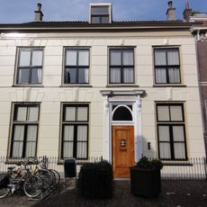
Gasthuisstraat 20, Tiel
761 m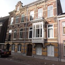
Ambtmanstraat 20, Tiel
833 m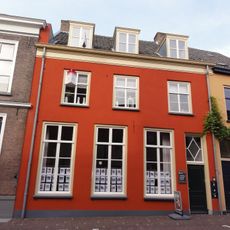
Sint Agnietenstraat 19, Tiel
774 m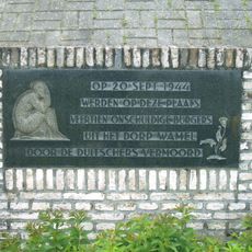
Monument aan de Waalstraat
777 mReviews
Visited this place? Tap the stars to rate it and share your experience / photos with the community! Try now! You can cancel it anytime.
Discover hidden gems everywhere you go!
From secret cafés to breathtaking viewpoints, skip the crowded tourist spots and find places that match your style. Our app makes it easy with voice search, smart filtering, route optimization, and insider tips from travelers worldwide. Download now for the complete mobile experience.

A unique approach to discovering new places❞
— Le Figaro
All the places worth exploring❞
— France Info
A tailor-made excursion in just a few clicks❞
— 20 Minutes