
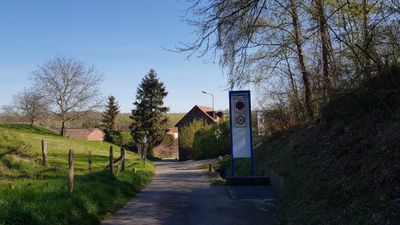
Engwegen, hamlet in Valkenburg aan de Geul, Netherlands
Location: Valkenburg aan de Geul
GPS coordinates: 50.84720,5.87440
Latest update: March 25, 2025 21:37
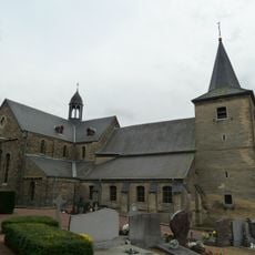
Sint-Mauritiuskerk
907 m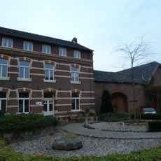
Strucht
627 m
Groeve Keutenberg
89 m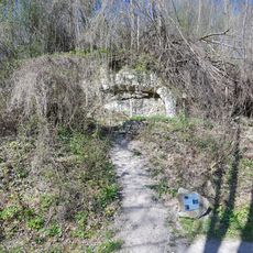
Groeve onder de Keutenberg
482 m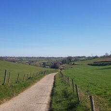
Engwegengrub
360 m
Kalkoven Engwegen
37 m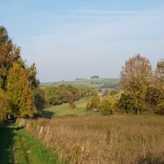
Gronzedelle
927 m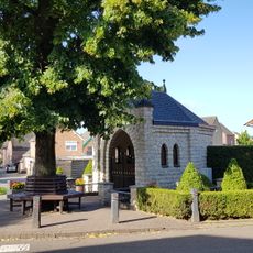
Mariakapel
590 m
Struchterhof
607 m
Frater Venantius
551 m
Hoeve Nieuw Hoogbeek
760 m
Kerkwegje 1, Schin op Geul
919 m
Graafstraat 3, Schin op Geul
918 m
Keutenberg 7, Schin op Geul
475 m
Tuinstraat 13, Wijlre
536 m
Hoeve Hoogbeek
734 m
Kerkewegje 2, Schin op Geul
944 m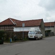
Hoogbeek 3, Schin op Geul
613 m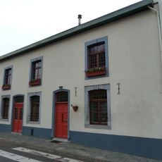
Kerkplein 13, Schin op Geul
895 m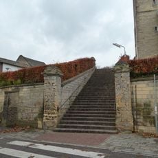
Retaining wall with brick staircase and four fence pillars as well as fence with fence pillars near Sint-Mauritiuskerk
899 m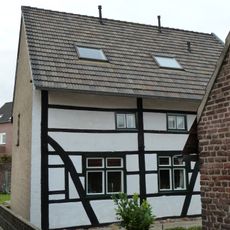
Eikenderweg 8, Schin op Geul
540 m
Valkenburgerweg 100, Wijlre
695 m
Keutenberg 3, Schin op Geul
445 m
Valkenburgerweg 111, Wijlre
773 m
Valkenburgerweg 109, Wijlre
785 m
Graafstraat 9, Schin op Geul
934 m
Valkenburgerweg 105, Wijlre
807 m
Graafstraat 1, Schin op Geul
910 mReviews
Visited this place? Tap the stars to rate it and share your experience / photos with the community! Try now! You can cancel it anytime.
Discover hidden gems everywhere you go!
From secret cafés to breathtaking viewpoints, skip the crowded tourist spots and find places that match your style. Our app makes it easy with voice search, smart filtering, route optimization, and insider tips from travelers worldwide. Download now for the complete mobile experience.

A unique approach to discovering new places❞
— Le Figaro
All the places worth exploring❞
— France Info
A tailor-made excursion in just a few clicks❞
— 20 Minutes