
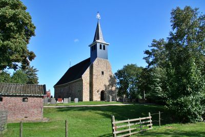
Johannes de Doperkerk, church building in Súdwest-Fryslân, Netherlands
Location: Súdwest-Fryslân
Inception: 13 century
Address: Dorpsstraat 66 8759LD 8759LD
GPS coordinates: 53.05556,5.46444
Latest update: March 14, 2025 07:22
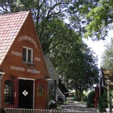
Aldfaers Erf
1.5 km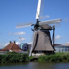
Tadema's molen
2.6 km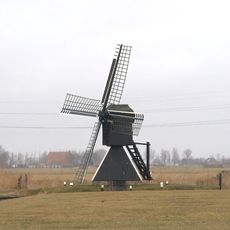
De Klaver
3.2 km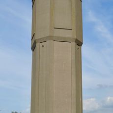
Watertoren Bolsward
2.9 km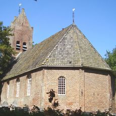
Gertrudiskerk, Allingawier
1.6 km
Hoytema State
3.8 km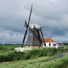
Babuurstermolen
2.4 km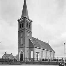
Protestantse kerk, Schettens
3.3 km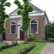
Doopsgezinde kerk, Bolsward
3.8 km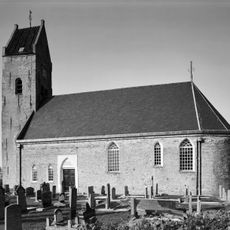
Hervormde kerk, Schraard
2.9 km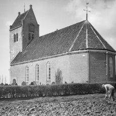
Kerk, Longerhouw
1.8 km
Kruiswaterbrug
3.7 km
De Izeren Ko
1.6 km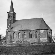
Sint-Petruskerk, Tjerkwerd
2.9 km
Windmotor Jousterp
3.1 km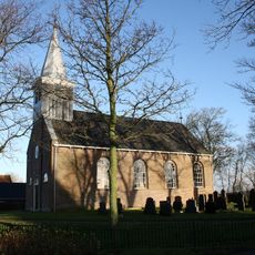
Hervormde Kerk, Idsegahuizum
3.4 km
Van Panhuysbrug
2.7 km
Rijksbeschermd gezicht Schraard
2.9 km
War memorial 1953
3.1 km
Kerkbuurt 19, Allingawier
1.6 km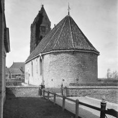
Hervormde kerk: cemetery
2.9 km
Van Osingaweg 1, Schettens
3.4 km
Dorpsstraat 52, Exmorra
58 m
Skilwyk 11, Bolsward
3.8 km
Grootzand 17, Bolsward
3.8 km
Dijkstraat 23, Bolsward
3.7 km
Pand met verdieping onder voor afgeschuind zadeldak met topschoorsteen waarop bord
3.8 km
Grootzand 15, Bolsward
3.8 kmReviews
Visited this place? Tap the stars to rate it and share your experience / photos with the community! Try now! You can cancel it anytime.
Discover hidden gems everywhere you go!
From secret cafés to breathtaking viewpoints, skip the crowded tourist spots and find places that match your style. Our app makes it easy with voice search, smart filtering, route optimization, and insider tips from travelers worldwide. Download now for the complete mobile experience.

A unique approach to discovering new places❞
— Le Figaro
All the places worth exploring❞
— France Info
A tailor-made excursion in just a few clicks❞
— 20 Minutes