
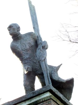
De Roeier, oorlogsmonument in Zennewijnen, Nederland
Location: Tiel
Inception: 1995
Creator: Willem den Ouden
Official opening: 1995
Address: Waalbandijk, 4062 PR, Zennewijnen (Tiel), Gelderland, Nederland 4062 PR 4062 PR
GPS coordinates: 51.85757,5.41182
Latest update: March 7, 2025 19:46
Passewaaij
1.7 km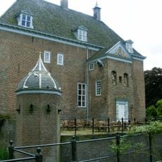
Kasteel Ophemert
1.8 km
Huis te Dreumel
1.8 km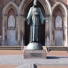
Statue of Sacred Heart of Jesus Christ (Dreumel)
1.6 km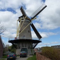
Korenmolen van Dreumel
1.6 km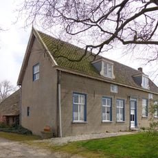
Akkersestraat 17, Ophemert
2.9 km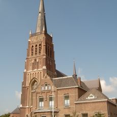
Saint Barbara Church
1.6 km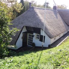
Waaldijk 53, Dreumel
2.2 km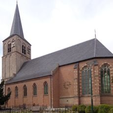
Sint Maartenkerk
2 km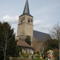
Toren van de Hervormde Kerk
2 km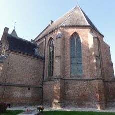
Hervormde Kerk
1.6 km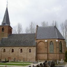
Hervormde Kerk (Wadenoijen)
2.9 km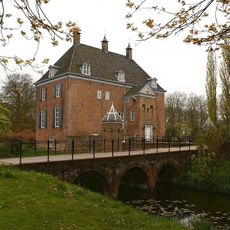
Kasteel Ophemert
1.8 km
Vluchtheuvelstraat 2, Dreumel
1.3 km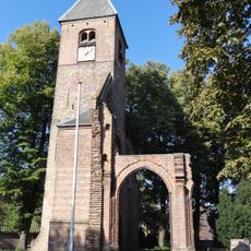
Hervormde Kerk, Dreumel
1.6 km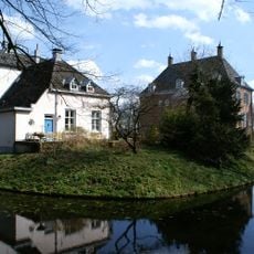
Kasteel Ophemert
1.8 km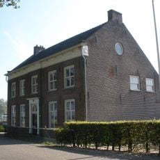
Lingedijk 21, Wadenoijen
2.9 km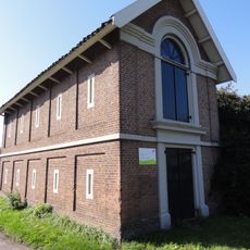
Dijkmagazijn, Dreumel
1.1 km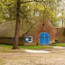
Kasteel Ophemert: schuur
1.8 km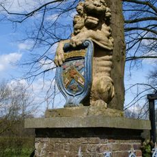
Kasteel Ophemert: inrijhek
1.8 km
Pastorie
1.6 km
Hermoesestraat 5, Zennewijnen
730 m
Lingedijk 7, Wadenoijen
2.5 km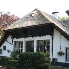
Waalbandijk 87, Tiel
392 m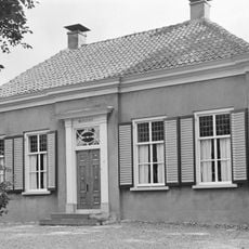
Molenstraat 22, Ophemert
1.9 km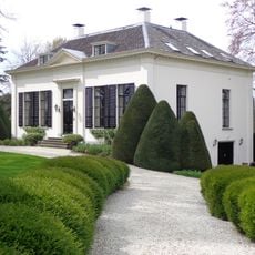
De Kapelhof
2.3 km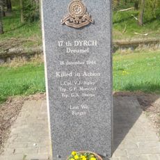
Monument voor het 7th Canadian Reconnaissance Regiment
1.3 km
Kasteel Ophemert: historische tuin- en parkaanleg
1.8 kmReviews
Visited this place? Tap the stars to rate it and share your experience / photos with the community! Try now! You can cancel it anytime.
Discover hidden gems everywhere you go!
From secret cafés to breathtaking viewpoints, skip the crowded tourist spots and find places that match your style. Our app makes it easy with voice search, smart filtering, route optimization, and insider tips from travelers worldwide. Download now for the complete mobile experience.

A unique approach to discovering new places❞
— Le Figaro
All the places worth exploring❞
— France Info
A tailor-made excursion in just a few clicks❞
— 20 Minutes