
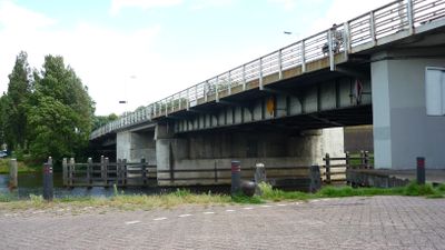
Diezebrug, bridge in Netherlands
Location: 's-Hertogenbosch
Inception: 1939
GPS coordinates: 51.69572,5.30117
Latest update: April 10, 2025 22:18
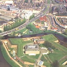
's-Hertogenbosch Citadel
174 m
Verkadefabriek
254 m
Willem Twee Poppodium
315 m
Brabants Historisch Informatie Centrum
153 m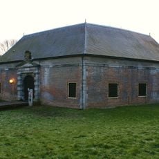
Kruithuis, 's-Hertogenbosch
355 m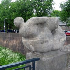
Jonah and the Whale
304 m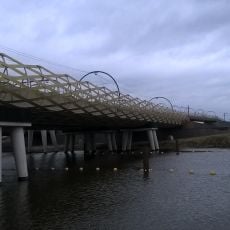
Dieze railroad bridge
399 m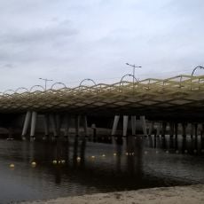
The Royal Welshbrug
466 m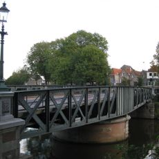
Draaibrug Buitenhaven
213 m
Goulmy & Baar
298 m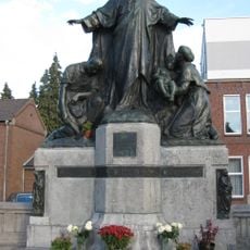
Statue of Sacred Heart of Jesus Christ
446 m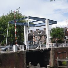
Orthenbrug
313 m
Boombrug
173 m
Emmaplein 6, 's-Hertogenbosch
448 m
Zitadelle von ’s-Hertogenbosch
169 m
Orthenstraat 71, 's-Hertogenbosch
363 m
Oliemolensingel 1 & 3, 's-Hertogenbosch
174 m
Dit is in Vlymen
435 m
Sint Geertruikerkhof 4, 's-Hertogenbosch
429 m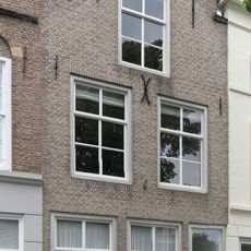
Brede Haven 71, 's-Hertogenbosch
196 m
Consultatiebureau
238 m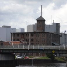
Meelfabriek 's-Hertogenbosch
124 m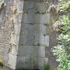
Peilschaal
180 m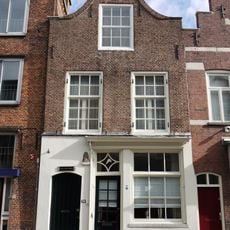
Orthenstraat 59, 's-Hertogenbosch
399 m
Orthenstraat 65, 's-Hertogenbosch
379 m
De Camere
367 m
Sint Geertruikerkhof 6, 's-Hertogenbosch
425 m
Sint Geertruikerkhof 2, 's-Hertogenbosch
429 mVisited this place? Tap the stars to rate it and share your experience / photos with the community! Try now! You can cancel it anytime.
Discover hidden gems everywhere you go!
From secret cafés to breathtaking viewpoints, skip the crowded tourist spots and find places that match your style. Our app makes it easy with voice search, smart filtering, route optimization, and insider tips from travelers worldwide. Download now for the complete mobile experience.

A unique approach to discovering new places❞
— Le Figaro
All the places worth exploring❞
— France Info
A tailor-made excursion in just a few clicks❞
— 20 Minutes