
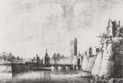
Manenborgh, Bauwerk in den Niederlanden
Location: Utrecht
Part of: Historische stadswallen
GPS coordinates: 52.08172,5.12539
Latest update: March 8, 2025 03:04
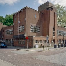
Louis Hartlooper Complex
82 m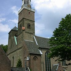
St. Nicholas Church
149 m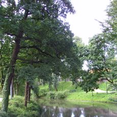
Zocherpark
133 m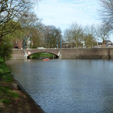
Tolsteegbrug
92 m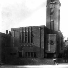
Zuiderkerk
99 m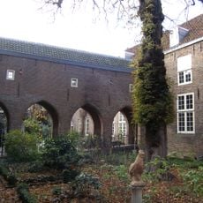
Sint Nicolaasklooster, Utrecht
108 m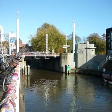
Vaartscherijnbrug
136 m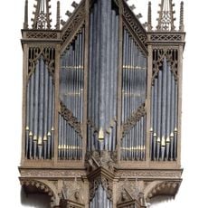
Peter Gerritsz-orgel
149 m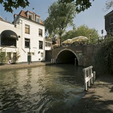
Bijlhouwersbrug
125 m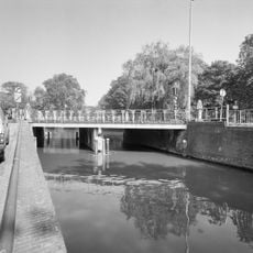
Krommerijnbrug
67 m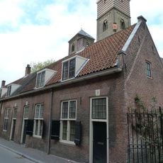
Gronsveltkameren
151 m
Oosterkade 4, Utrecht
162 m
Twijnstraat 53, Utrecht
176 m
Twijnstraat 32, Utrecht
164 m
Oosterkade 6-8, Utrecht
174 m
Westerkade 1, Utrecht
165 m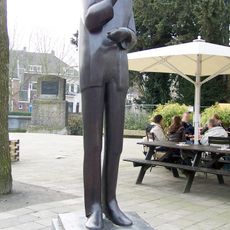
Herman Berkien
108 m
Twijnstraat 48, Utrecht
129 m
Twijnstraat 58, Utrecht
98 m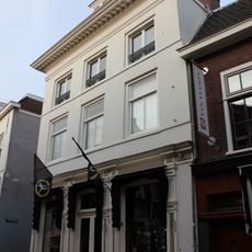
Twijnstraat 50, Utrecht
120 m
Twijnstraat 65, Utrecht
147 m
Wijde Doelen 8 en 8A, Utrecht
69 m
Nicolaaskerkhof 9, Utrecht
179 m
Tolsteegbarrière 1, Utrecht
124 m
Tolsteegbarrière 2, Utrecht
129 m
Wijde Doelen 2A, Utrecht
72 m
Twijnstraat 67, Utrecht
145 m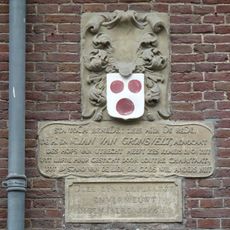
Gronsveltkameren
152 mReviews
Visited this place? Tap the stars to rate it and share your experience / photos with the community! Try now! You can cancel it anytime.
Discover hidden gems everywhere you go!
From secret cafés to breathtaking viewpoints, skip the crowded tourist spots and find places that match your style. Our app makes it easy with voice search, smart filtering, route optimization, and insider tips from travelers worldwide. Download now for the complete mobile experience.

A unique approach to discovering new places❞
— Le Figaro
All the places worth exploring❞
— France Info
A tailor-made excursion in just a few clicks❞
— 20 Minutes