
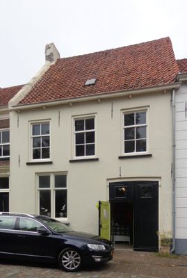
Herenstraat 11, Buren, Rijksmonument op Herenstraat 11
Location: Buren
Address: Herenstraat 11 4116BK 4116BK
GPS coordinates: 51.91170,5.33419
Latest update: April 1, 2025 16:03
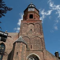
Sint-Lambertuskerk
39 m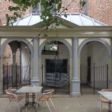
Stadswaag
44 m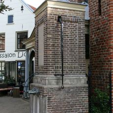
Stadspomp
49 m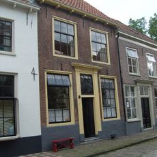
Herenstraat 10, Buren
35 m
Peperstraat 5, Buren
66 m
Herenstraat 15, Buren
16 m
Herenstraat 13, Buren
8 m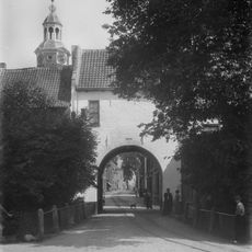
Achterbonenburg 1, Buren
53 m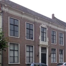
Herenstraat 19, Buren
28 m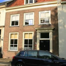
Herenstraat 9, Buren
5 m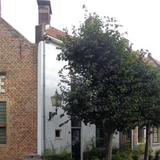
Peperstraat 1, Buren
58 m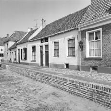
Kerkstraat 5, Buren
46 m
Herenstraat 21, Buren
41 m
Herenstraat 12, Buren
36 m
Herenstraat 14, Buren
44 m
Pand met een zadeldak, evenwijdig aan de straat, tussen puntgevels
51 m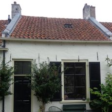
Kerkstraat 6, Buren
33 m
Kerktoren Sint-Lambertuskerk
49 m
Herenstraat 17, Buren
23 m
Dwarshuis, 16e- of 17e-eeuws, onder zadeldak
61 m
Peperstraat 3, Buren
61 m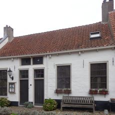
Klein dwarshuis onder zadeldak tussen puntgevels
38 m
Dwarshuis met lage verdieping en zadeldak
51 m
Klein, rechts onderkelderd dwarshuisje onder zadeldak
61 m
"De Swaen"
53 m
Herenstraat 8, Buren
28 m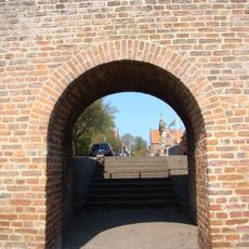
Wal Keelaff Poort - Tielse Poort met Bagijnepoortje
43 m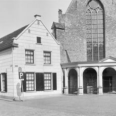
Herenstraat 2, Buren
34 mReviews
Visited this place? Tap the stars to rate it and share your experience / photos with the community! Try now! You can cancel it anytime.
Discover hidden gems everywhere you go!
From secret cafés to breathtaking viewpoints, skip the crowded tourist spots and find places that match your style. Our app makes it easy with voice search, smart filtering, route optimization, and insider tips from travelers worldwide. Download now for the complete mobile experience.

A unique approach to discovering new places❞
— Le Figaro
All the places worth exploring❞
— France Info
A tailor-made excursion in just a few clicks❞
— 20 Minutes