
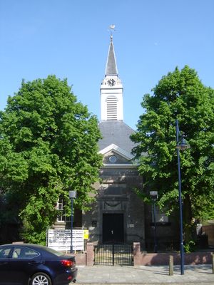
Nederlands Hervormde Kerk, Hoofdplaat, church building in Sluis, Netherlands
Location: Sluis
Inception: 1780s
Address: Dorpsstraat 3 4513AL
GPS coordinates: 51.36981,3.66265
Latest update: March 5, 2025 03:41

Wilhelminapolder
2.4 km
Paulinapolder
5 km
Hoofdplaatpolder
2.3 km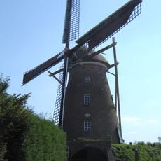
De Harmonie
4.8 km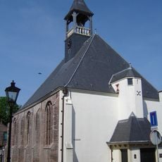
Protestantse Kerk
4.8 km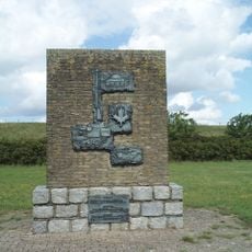
Landingsmonument
5.3 km
Thomaespolder
2.9 km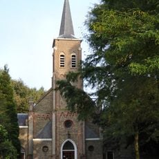
Onze-Lieve-Vrouw-Onbevlekt-Ontvangenkerk
4.5 km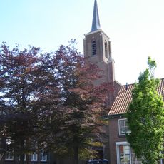
Sint-Eligiuskerk
121 m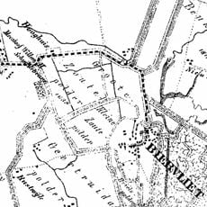
Kleine Zoutepolder
4.5 km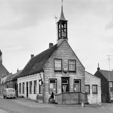
Raadhuis
4.8 km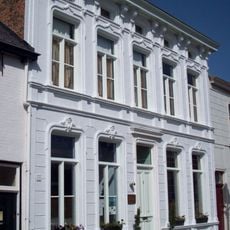
Minnepoortstraat 6, IJzendijke
6.2 km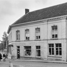
Burg. Maarleveldstraat 7, Biervliet
4.9 km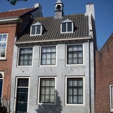
Markt 3, IJzendijke
6.2 km
Markt 4, IJzendijke
6.2 km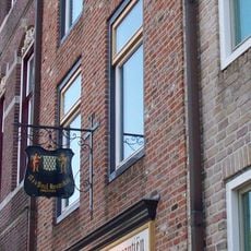
Markt 21, IJzendijke
6.2 km
Markt 23, IJzendijke
6.2 km
Markt 26, IJzendijke
6.2 km
Molenstraat 5, Biervliet
4.8 km
Onderkelderd pand met 12-ruits en 16-ruits schuifvensters
4.9 km
Markt 27, IJzendijke
6.2 km
Breed pand met gestucte rechte gevel
4.9 km
Coupure
4.3 km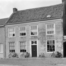
Pand met rechte lijstgevel
4.8 km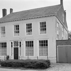
Fors pand met rechte gevel
4.9 km
Oorlogsmonument
4.9 km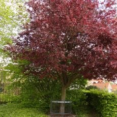
Bevrijdingsboom
5.2 km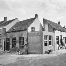
Gepleisterd verdiepingloos dwarspand
4.8 kmVisited this place? Tap the stars to rate it and share your experience / photos with the community! Try now! You can cancel it anytime.
Discover hidden gems everywhere you go!
From secret cafés to breathtaking viewpoints, skip the crowded tourist spots and find places that match your style. Our app makes it easy with voice search, smart filtering, route optimization, and insider tips from travelers worldwide. Download now for the complete mobile experience.

A unique approach to discovering new places❞
— Le Figaro
All the places worth exploring❞
— France Info
A tailor-made excursion in just a few clicks❞
— 20 Minutes