
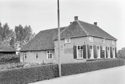
Gepleisterde boerderij op T-vormige plattegrond, farmhouse in Tiel, Netherlands
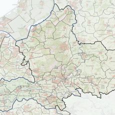
Location: Tiel
Address: Lingedijk 97
GPS coordinates: 51.87556,5.36787
Latest update: March 6, 2025 19:50
Passewaaij
2.2 km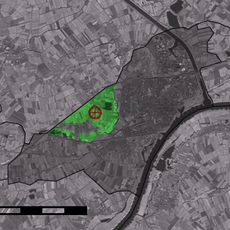
Bergakker
1.4 km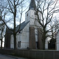
Sint-Lambertuskerk
2.5 km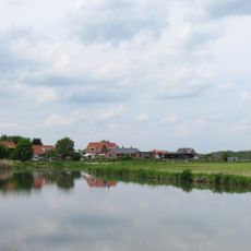
Pijpekast
2.1 km
Hervormde kerk
791 m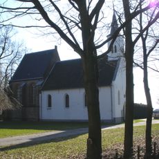
Nederlands Hervormde Kerk, Kapel-Avezaath
678 m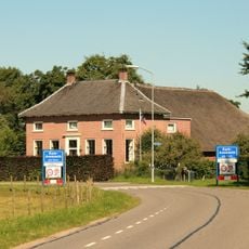
Daver 20, Kerk-Avezaath
2.7 km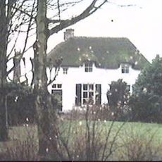
Achterstraat 38, Kerk-Avezaath
2.3 km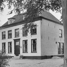
Landzicht
2.5 km
Lingestein
2.7 km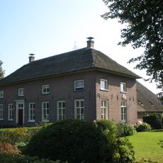
De Cromme Maen
1.5 km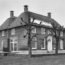
Laageinde 3, Kapel-Avezaath
509 m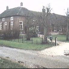
Achterstraat 40, Kerk-Avezaath
2.3 km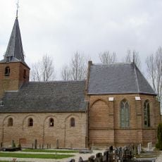
Hervormde Kerk (Wadenoijen)
791 m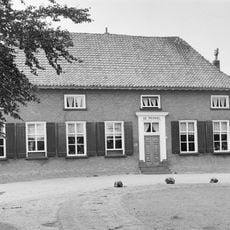
'De prinkel'
848 m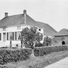
Vergardeweg 23, Wadenoijen
683 m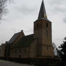
Toren
786 m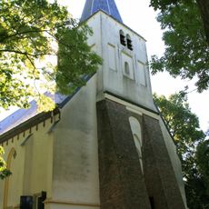
Toren der hervormde kerk
2.5 km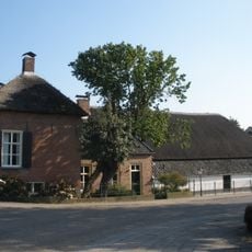
Lingedijk 63, Wadenoijen
417 m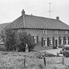
Boerderij op T-vormige grondplan
565 m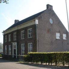
Lingedijk 21, Wadenoijen
824 m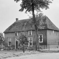
Boerderij op T-vormige plattegrond
788 m
Lingedijk 7, Wadenoijen
1.3 km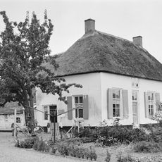
Gepleisterde boerderij, woonhuis en stal vormen een T-vormige plattegrond
888 m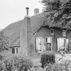
Boerderij onder rieten wolfdak met in de voorgevel jaartalankers
1.2 km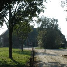
Moleneind 18, Kapel-Avezaath
335 m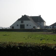
Hoeve 'Waardzicht'
490 m
Dorpsstraat 6, Kerk-Avezaath
2.6 kmReviews
Visited this place? Tap the stars to rate it and share your experience / photos with the community! Try now! You can cancel it anytime.
Discover hidden gems everywhere you go!
From secret cafés to breathtaking viewpoints, skip the crowded tourist spots and find places that match your style. Our app makes it easy with voice search, smart filtering, route optimization, and insider tips from travelers worldwide. Download now for the complete mobile experience.

A unique approach to discovering new places❞
— Le Figaro
All the places worth exploring❞
— France Info
A tailor-made excursion in just a few clicks❞
— 20 Minutes