
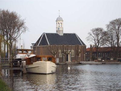
Thamerkerk, Uithoorn, church building in Uithoorn, Netherlands
Location: Uithoorn
Inception: 1830s
Address: Amsteldijk-Noord 1
GPS coordinates: 52.23616,4.83972
Latest update: March 2, 2025 23:39
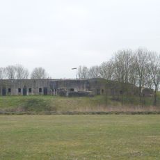
Fort bij Uithoorn
918 m
Station Uithoorn
359 m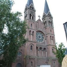
Sint-Jan de Doperkerk (Uithoorn)
876 m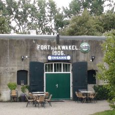
Fort near De Kwakel
3.4 km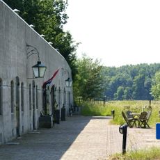
Fort aan de Drecht
1.9 km
Fort Waver-Amstel
2.6 km
De Hoeksteen
1.3 km
Prinses Irenebrug
794 m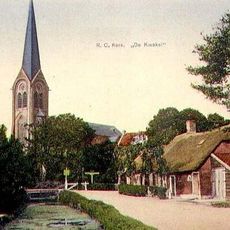
Sint-Johannes Geboortekerk
3.1 km
Busbrug Uithoorn
348 m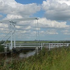
Jac.C. Keabrug
3.1 km
Eerste bedijking der Mijdrechtse droogmakerij
1.7 km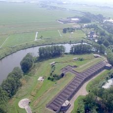
Tweede bedijking der Mijdrechtse droogmakerij
1.9 km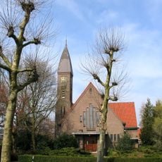
Kerk
710 m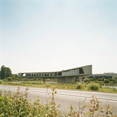
Groot Mijdrechtstraat 81, Mijdrecht
3.3 km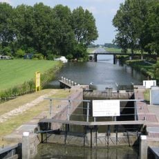
Pondskoekersluis
2.7 km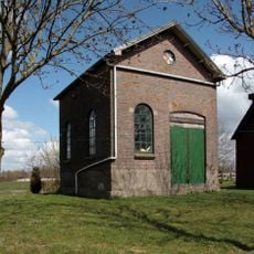
Gemaal Blokland
2.4 km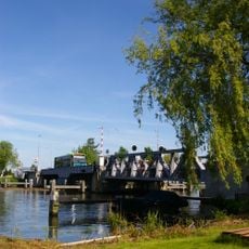
Stalen spoorbrug
353 m
Grenspalen in De Ronde Venen
3.5 km
Genieloods
800 m
Dorpsstraat 36a, Uithoorn
666 m
Station Uithoorn: toiletgebouw
376 m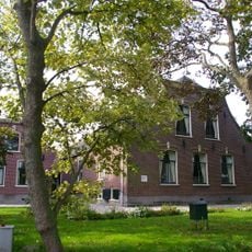
Leeuwarden: langhuisboerdij met zomerhuis
2.6 km
Boerderij in traditionele stijl, met Delftse school-invloeden
3 km
Nooit Gedacht: stalgebouw
2.1 km
Nooit Gedacht
2.1 km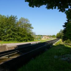
Uitstroomgoot met uitwateringsluis t.b.v. gemaal van de Noorder Legmeer en Thamerpolder
1.1 km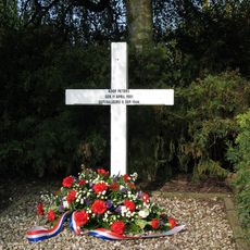
Herdenkingskruis fusillade Koop Peters
3.4 kmReviews
Visited this place? Tap the stars to rate it and share your experience / photos with the community! Try now! You can cancel it anytime.
Discover hidden gems everywhere you go!
From secret cafés to breathtaking viewpoints, skip the crowded tourist spots and find places that match your style. Our app makes it easy with voice search, smart filtering, route optimization, and insider tips from travelers worldwide. Download now for the complete mobile experience.

A unique approach to discovering new places❞
— Le Figaro
All the places worth exploring❞
— France Info
A tailor-made excursion in just a few clicks❞
— 20 Minutes