
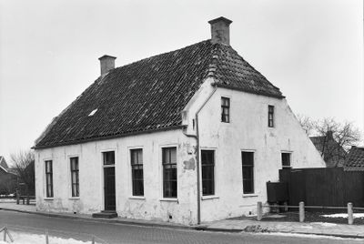
Landelijk pand onder dwars zadeldak met wolfeinden, building in De Marne, Netherlands
Location: De Marne
Address: Hoofdstraat 33
GPS coordinates: 53.33661,6.34207
Latest update: March 20, 2025 08:34
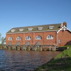
De Waterwolf
2.8 km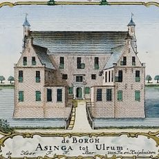
Asingaborg (Ulrum)
2.3 km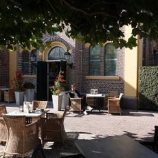
De Theefabriek
142 m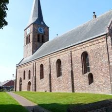
Hervormde Kerk, Ulrum
2.6 km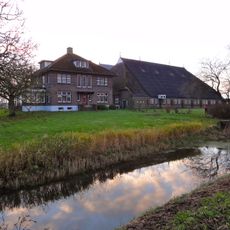
Kooienburg
1.3 km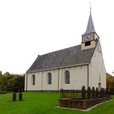
Hervormde Kerk
1 km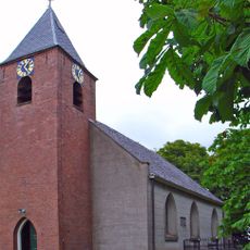
Kerk van Zuurdijk
2.4 km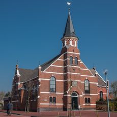
Gereformeerde Kerk
2.6 km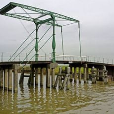
Zuidema's klap, Niekerk
2 km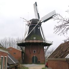
De Zwaluw
2.3 km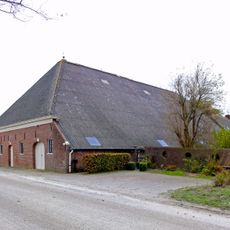
Wiemaheerd
1.4 km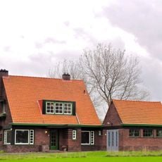
Hoofdstraat 23
1.3 km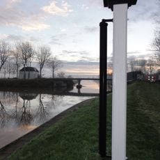
Rolpaal Leenstertillen
2.4 km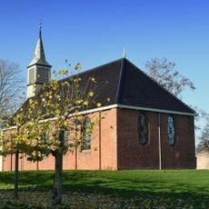
Alde Tsjerke
2.7 km
Hoofdstraat 23, Niekerk
1.3 km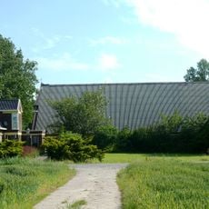
Hayemaheerd
1.2 km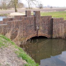
Kooienburg, voetgangersbrug
1.2 km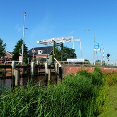
Schutsluis bij De Waterwolf, ophaalbrug
2.6 km
Hervormde pastorie
2.5 km
Neptunus
2.7 km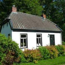
Arbeiderswoning met platte aanbouw
1.4 km
Kerkhof van het verdwenen dorp Vliedorp (Olle Weem)
805 m
Tuinderswoning, schoorsteen
1.3 km
Hervormde consistorie (Irene)
2.5 km
Arbeiderswoning met aankapping
1.3 km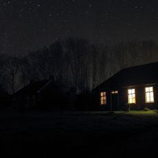
Arbeiderswoning met aangebouwd schuurtje
1.3 km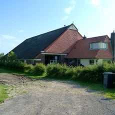
Electra Farm
2.4 km
Arbeiderswoning met aankapping en aangebouwd schuurtje
1.3 kmReviews
Visited this place? Tap the stars to rate it and share your experience / photos with the community! Try now! You can cancel it anytime.
Discover hidden gems everywhere you go!
From secret cafés to breathtaking viewpoints, skip the crowded tourist spots and find places that match your style. Our app makes it easy with voice search, smart filtering, route optimization, and insider tips from travelers worldwide. Download now for the complete mobile experience.

A unique approach to discovering new places❞
— Le Figaro
All the places worth exploring❞
— France Info
A tailor-made excursion in just a few clicks❞
— 20 Minutes