
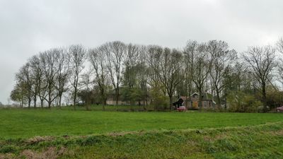
Terrein met een wierde en overblijfselen van Klooster Bloemhof
Terrein met een wierde en overblijfselen van Klooster Bloemhof, archäologische Stätte in Niederlande
Location: Ten Boer
Address: Woldjerweg
GPS coordinates: 53.28679,6.74927
Latest update: March 20, 2025 19:16
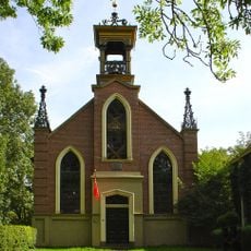
Hervormde kerk (Wittewierum)
82 m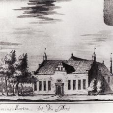
Tammingahuizen
2.5 km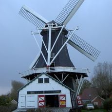
Fram
2.1 km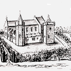
Oldenhuis
840 m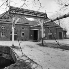
Dinghweer
2.9 km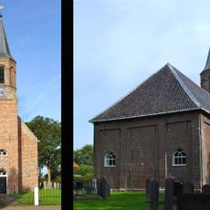
Hervormde kerk
2.2 km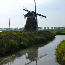
Meervogel
2.5 km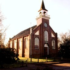
Hervormde kerk
2.5 km
Kloostermolen
2.2 km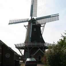
Windlust
2.4 km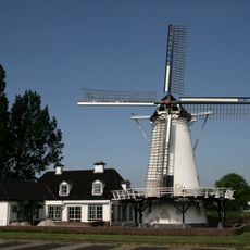
Olle Widde
2.1 km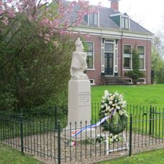
Fokko Reinard Zuidveld Monument
2.6 km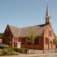
Nederlands Hervormde Kerk, Garrelsweer
2.7 km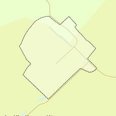
Rijksbeschermd gezicht Lellens
3.1 km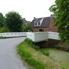
Balkbrug over het Lustigemaar
2 km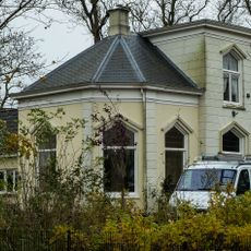
Villa in eclectische stijl met aangebouwd achterhuis
2.7 km
Köster van Garrelsweer
2.7 km
Balkbrug met kenmerken van de Amsterdamse school
2.9 km
Schathuis Huis te Lellens
3.1 km
Terrein met een wierde (Swieringa's Polder II tegenover boerderij De Graslanden)
2.4 km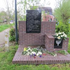
Monument voor de familie Cohen
2.8 km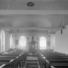
Hervormde kerk, preekstoelkuip
1.6 km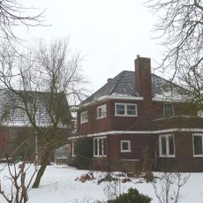
Hervormde pastorie
2.7 km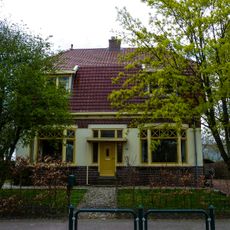
Hervormde pastorie
2.5 km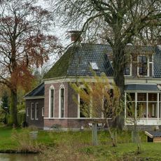
Voorm. directeurswoning stoomhoutzagerij
2.7 km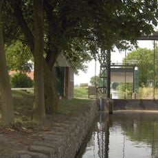
Oosterdijkshornerverlaat
3 km
Terrein met resten van de Tammingaborg
2.5 km
Hervormde kerk, kerkhof
2.6 kmVisited this place? Tap the stars to rate it and share your experience / photos with the community! Try now! You can cancel it anytime.
Discover hidden gems everywhere you go!
From secret cafés to breathtaking viewpoints, skip the crowded tourist spots and find places that match your style. Our app makes it easy with voice search, smart filtering, route optimization, and insider tips from travelers worldwide. Download now for the complete mobile experience.

A unique approach to discovering new places❞
— Le Figaro
All the places worth exploring❞
— France Info
A tailor-made excursion in just a few clicks❞
— 20 Minutes