
Terrein waarin een urnenveld, archaeological site in Veldhoven, Netherlands
Location: Veldhoven
Address: Volmolenweg
GPS coordinates: 51.38370,5.40966
Latest update: April 2, 2025 06:31

Koningshof
1.8 km
Oude Sint-Willibrorduskerk
2.3 km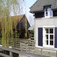
Volmolen
984 m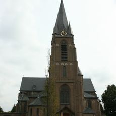
Sint Ceciliakerk, Veldhoven
2.4 km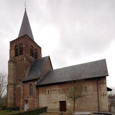
Graf van de onbekende soldaat
2.3 km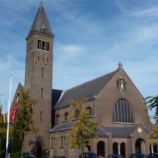
Sint-Willibrorduskerk
2.4 km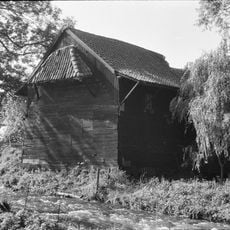
Keersoppermolen
2.5 km
Waalres Museum
2.5 km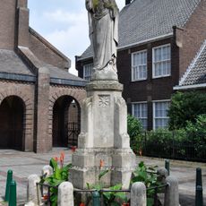
Statue of Sacred Heart of Jesus Christ
2.4 km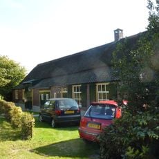
Loon 9, Waalre
2.3 km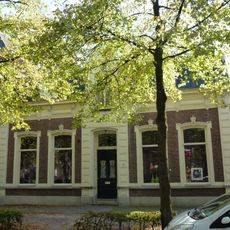
Markt 7, Waalre
2.4 km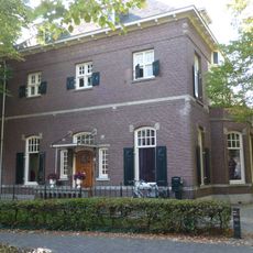
Woonhuis Markt 6
2.4 km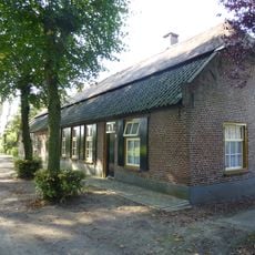
Loon 3, Waalre
2.2 km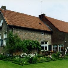
Dommelseweg 5, Waalre
2.6 km
R.K. pastorie
2.4 km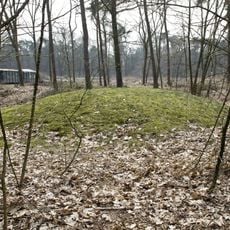
Terrein waarin grafheuvels en urnenveld
2.3 km
Huize de Brink
2.4 km
Linnenfabriek van de familie Swane
2.5 km
Dorpstraat 25a, Veldhoven
2.4 km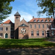
Het Klooster
2.4 km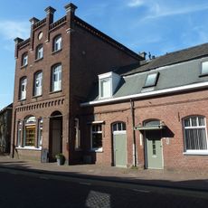
Sigarenfabriek
2.5 km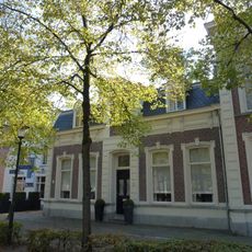
Markt 9, Waalre
2.4 km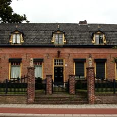
De Oude Pastorie
2.4 km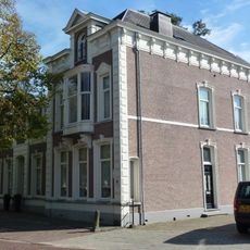
Markt 10, Waalre
2.3 km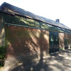
Loon 2, Waalre
2.2 km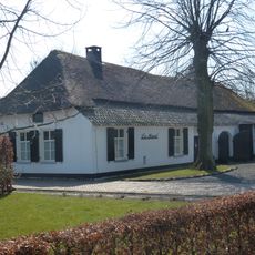
Boerderij van het Kempische langgeveltype, onder rieten wolfdak met voet van pannen
2.3 km
Markt 8, Waalre
2.4 km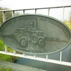
Plaquette op de Onze Lieve Vrouwebrug
2.4 kmReviews
Visited this place? Tap the stars to rate it and share your experience / photos with the community! Try now! You can cancel it anytime.
Discover hidden gems everywhere you go!
From secret cafés to breathtaking viewpoints, skip the crowded tourist spots and find places that match your style. Our app makes it easy with voice search, smart filtering, route optimization, and insider tips from travelers worldwide. Download now for the complete mobile experience.

A unique approach to discovering new places❞
— Le Figaro
All the places worth exploring❞
— France Info
A tailor-made excursion in just a few clicks❞
— 20 Minutes