
Terrein met hunebed G1, archaeological site in Haren, Netherlands
Location: Haren
Address: Zuidlaarderweg
GPS coordinates: 53.11562,6.65878
Latest update: March 2, 2025 22:50
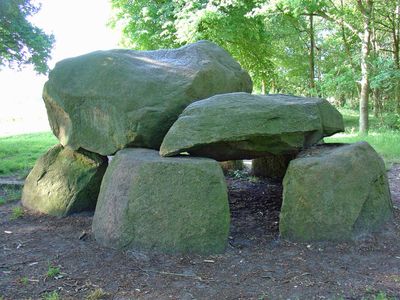
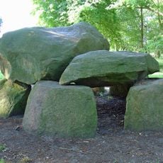
G1
26 m
Bartholomeüskerk
905 m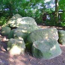
Dolmen D3
1.2 km
De Poll
1.9 km
Dolmen D4
1.2 km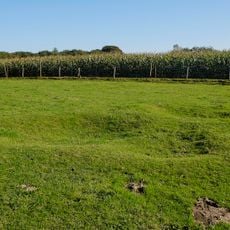
G3
2.3 km
De Poll
1.9 km
Dolmens near Glimmen
2.3 km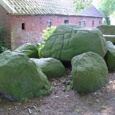
Hunebedden in Midlaren
1.2 km
De Korenschoof
611 m
Zuidlaarderweg 26
1.9 km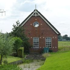
Voorm. stoomgemaal met in- en uitstroom
1.7 km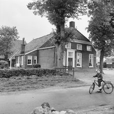
Middenstraat 1, Noordlaren
763 m
Twee rietgedekte houten schuren
650 m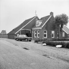
Zuidlaarderweg 46
715 m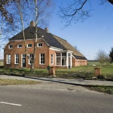
Groningerstraat 17
2.6 km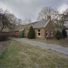
Schutsweg 40 (Midlaren)
1.2 km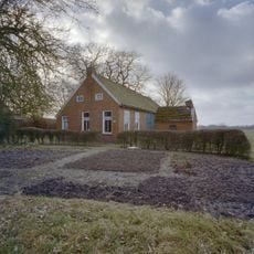
Schutsweg 42
1.2 km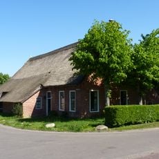
Zuinigstraatje 2
766 m
Terrein met twee grafheuvels
1 km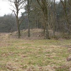
Terrein met twee grafheuvels
1.6 km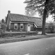
Zuidlaarderweg 59
1.2 km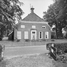
Lageweg 14
863 m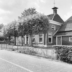
Lageweg 49-51, Noordlaren
822 m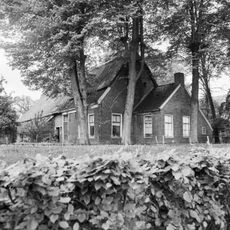
Lageweg 39
943 m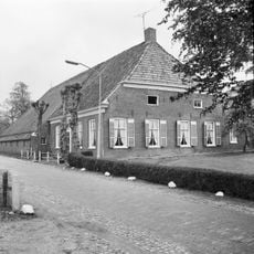
Kerkstraat 5, Noordlaren
813 m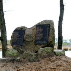
Monument Slachtoffers Meistaking 1943
2.7 km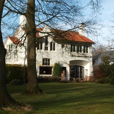
Vogelzang
1.9 kmReviews
Visited this place? Tap the stars to rate it and share your experience / photos with the community! Try now! You can cancel it anytime.
Discover hidden gems everywhere you go!
From secret cafés to breathtaking viewpoints, skip the crowded tourist spots and find places that match your style. Our app makes it easy with voice search, smart filtering, route optimization, and insider tips from travelers worldwide. Download now for the complete mobile experience.

A unique approach to discovering new places❞
— Le Figaro
All the places worth exploring❞
— France Info
A tailor-made excursion in just a few clicks❞
— 20 Minutes