
Tabaksschuur, Rijksmonument op Kersweg bij 28
Location: Utrechtse Heuvelrug
Address: Kersweg bij 28 3958BC 3958BC
GPS coordinates: 51.99759,5.45307
Latest update: March 3, 2025 01:43

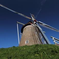
Maallust
257 m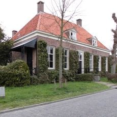
Drostehuis, Amerongen
259 m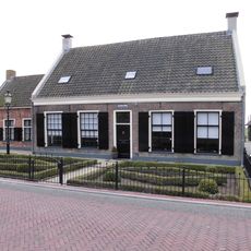
Kersweg 28, Amerongen
34 m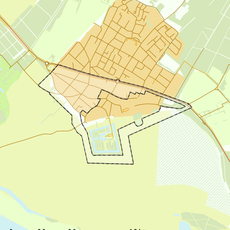
Rijksbeschermd gezicht Westelijk deel en rand van historische kern Amerongen
331 m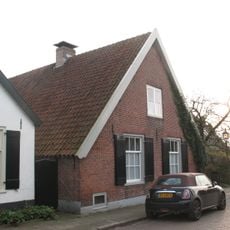
Donkerstraat 22, Amerongen
258 m
Overstraat 16, Amerongen
375 m
Donkerstraat 27, Amerongen
157 m
Overstraat 42, Amerongen
246 m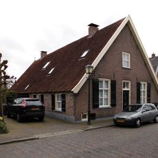
Burg. Jhr. H. Van Den Boschstraat 92, Amerongen
334 m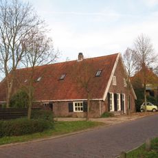
Drostestraat 31, Amerongen
229 m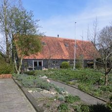
Zwart geteerde houten tabaksschuur
154 m
Overstraat 39, Amerongen
347 m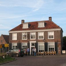
Den Rooden Leeuw
198 m
Overstraat 36, Amerongen
260 m
Burg. Jhr. H. Van Den Boschstraat 105, Amerongen
332 m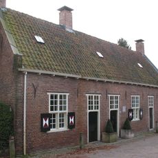
Gasthuisstraat 14, Amerongen
328 m
Drostestraat 35, Amerongen
198 m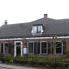
Donkerstraat 7, Amerongen
262 m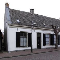
Overstraat 31, Amerongen
372 m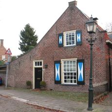
Gasthuisstraat 22, Amerongen
296 m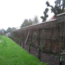
Muren om de grote moestuin
328 m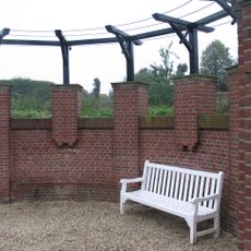
Keermuur en pergola
328 m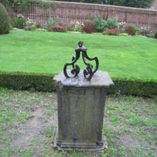
Zonnewijzer in de grote moestuin
328 m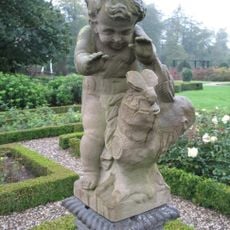
Putto in de rozentuin
328 m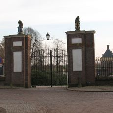
Muur
328 m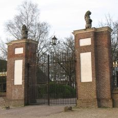
Hoofdinrijhek aan de Drostestraat
328 m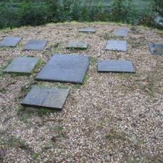
Hondengraven
334 m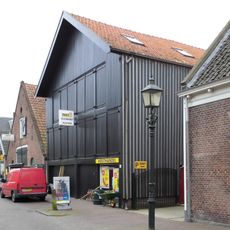
Overstraat 56, Amerongen
213 mReviews
Visited this place? Tap the stars to rate it and share your experience / photos with the community! Try now! You can cancel it anytime.
Discover hidden gems everywhere you go!
From secret cafés to breathtaking viewpoints, skip the crowded tourist spots and find places that match your style. Our app makes it easy with voice search, smart filtering, route optimization, and insider tips from travelers worldwide. Download now for the complete mobile experience.

A unique approach to discovering new places❞
— Le Figaro
All the places worth exploring❞
— France Info
A tailor-made excursion in just a few clicks❞
— 20 Minutes