
De Kemnade: historical park, Rijksmonument in the Netherlands
Location: Montferland
Part of: De Kemnade
Address: De Kemnade bij 1
GPS coordinates: 51.93930,6.29727
Latest update: March 10, 2025 12:11
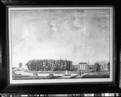
De Kemnade
46 m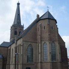
Saint Catharinachurch
3 km
Stroomboek
2 km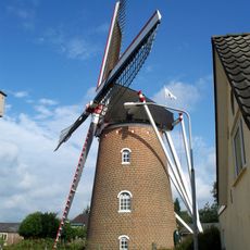
Aurora
2.5 km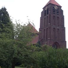
Onze-Lieve-Vrouw-ten-Hemelopnemingskerk
2.5 km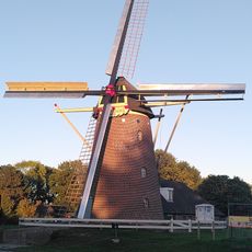
Braamse Molen
2.8 km
Oud-Wisch
1.7 km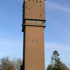
Watertoren
1.4 km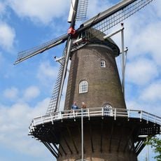
De Walmolen
2.7 km
City Museum of Doetinchem
3.2 km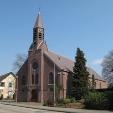
Sint-Martinuskerk
1.8 km
Erfgoedcentrum Achterhoek en Liemers
2.7 km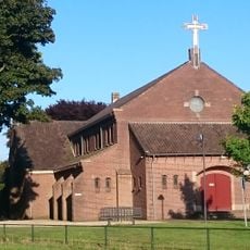
Onze Lieve Vrouw van Altijddurende Bijstandkerk
2.7 km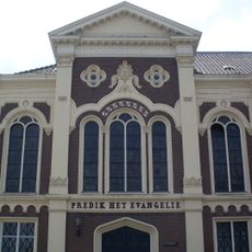
Predik het Evangelie
3.2 km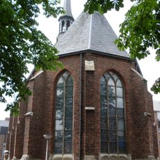
Driekoningenkapel
2.9 km
Stadsmuseum Doetinchem
3.2 km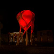
D-Toren
3.2 km
Chattering Peasants
3 km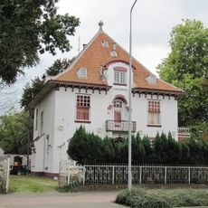
Villa 't Veldhoen
2.9 km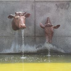
The Water Trough
2.9 km
De Kemnade
46 m
Eenklaviersorgel met negen registers in de R.K. Kerk St. Martinus
1.8 km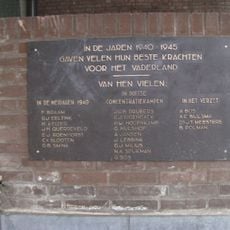
Plaquette in het gemeentehuis
2.8 km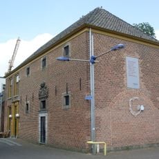
Gevangenis
3 km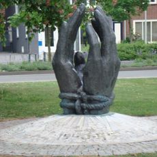
Vrijheidsmonument
2.8 km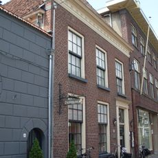
House with simple cornice
3.1 km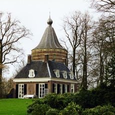
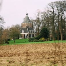
De Kemnade: main estate
11 m
Joods monument
2.9 kmVisited this place? Tap the stars to rate it and share your experience / photos with the community! Try now! You can cancel it anytime.
Discover hidden gems everywhere you go!
From secret cafés to breathtaking viewpoints, skip the crowded tourist spots and find places that match your style. Our app makes it easy with voice search, smart filtering, route optimization, and insider tips from travelers worldwide. Download now for the complete mobile experience.

A unique approach to discovering new places❞
— Le Figaro
All the places worth exploring❞
— France Info
A tailor-made excursion in just a few clicks❞
— 20 Minutes