
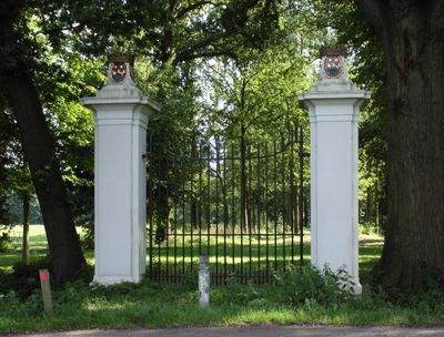
Gunterstein: voormalig hoofdtoegangshek, Rijksmonument op Zandpad bij 48
Location: Stichtse Vecht
Part of: Gunterstein
Address: Zandpad bij 48
GPS coordinates: 52.17287,5.01012
Latest update: March 3, 2025 10:45
Gunterstein
306 m
Boom en Bosch
365 m
Villa Nova
393 m
Boom en Bosch: hoofdgebouw
369 m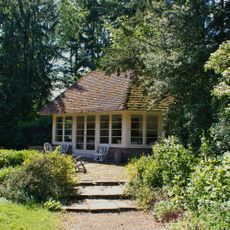
Gunterstein: tuinhuisje
203 m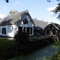
Gunterstein
196 m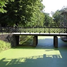
Gunterstein: toegangsbrug
254 m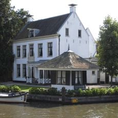
Vecht en Dan
365 m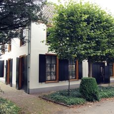
Boom en Bosch bouwhuis
366 m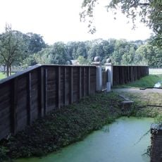
Gunterstein: moestuinschutting
301 m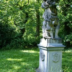
Gunterstein: tuinbeeld
229 m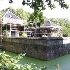
Gunterstein: keermuur
280 m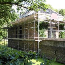
Gunterstein: Noordelijk bouwhuis
265 m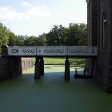
Gunterstein: 'Krakelingen'brug
292 m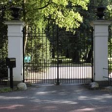
Gunterstein: dubbel toegangshek
231 m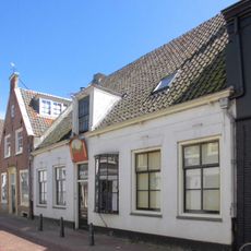
Brugstraat 14, Breukelen
394 m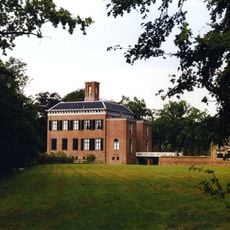
Gunterstein: historische tuin- en parkaanleg
307 m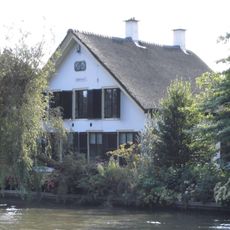
Straatweg 78, Breukelen
387 m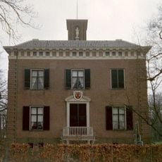
Gunterstein: landhuis
307 m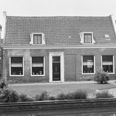
Weltevreden
382 m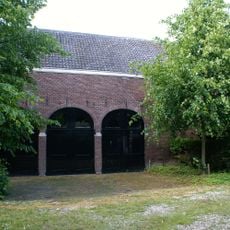
Gunterstein: koetshuis
215 m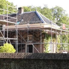
Gunterstein: zuidelijk bouwhuis
266 m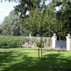
Gunterstein: toegangshek m
240 m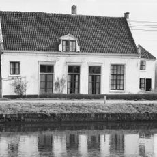
Lage witgepleisterde hofstede met uitbouw, zadeldak in topgevels eindigend
360 m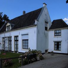
Klein Boomrijk
360 m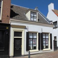
Laag gepleisterd huis met topgevel
386 m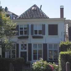
Pand met zolderverdieping en door pannen gedekt schilddak, aan de voorzijde afgewolfd boven de van een houten kroonlijst voorziene gevel van vroeg 19e-eeuws karakter
393 m
Klein Boom en Bosch
340 mReviews
Visited this place? Tap the stars to rate it and share your experience / photos with the community! Try now! You can cancel it anytime.
Discover hidden gems everywhere you go!
From secret cafés to breathtaking viewpoints, skip the crowded tourist spots and find places that match your style. Our app makes it easy with voice search, smart filtering, route optimization, and insider tips from travelers worldwide. Download now for the complete mobile experience.

A unique approach to discovering new places❞
— Le Figaro
All the places worth exploring❞
— France Info
A tailor-made excursion in just a few clicks❞
— 20 Minutes