
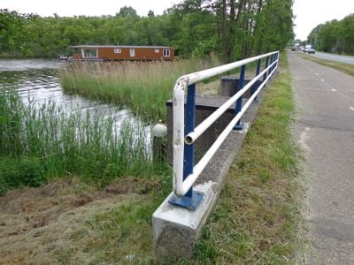
Kleizuwe te 's-Graveland, bridge in Wijdemeren, Netherlands
Location: Wijdemeren
Part of: Fort Kijkuit
Address: Kleizuwe te 's-Graveland
GPS coordinates: 52.23083,5.04409
Latest update: March 31, 2025 03:19
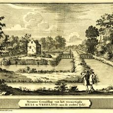
Vredelant
393 m
Nederlands Hervormde Kerk, Vreeland
703 m
Plantagehuis, Vreeland
330 m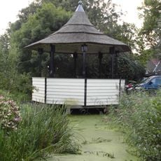
Muziektent
646 m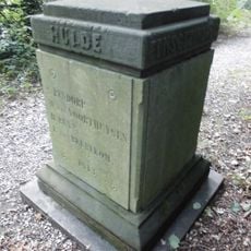
Plantagehuis: gedenkplaal aan het einde van de Breedelaan
494 m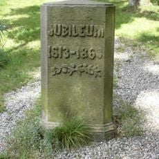
Plantagehuis: gedenkpaal
494 m
Ruiterstraat 4, Vreeland
724 m
Vossenlaan 22, Vreeland
592 m
Vrederust, Vreeland
721 m
Klapstraat 12, Vreeland
710 m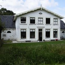
Kleizuwe 103, Vreeland
328 m
Klapstraat 8, Vreeland
730 m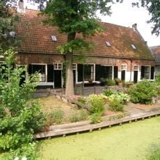
Lindengracht 5-19, Vreeland
682 m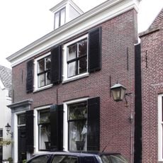
Voorstraat 18, Vreeland
728 m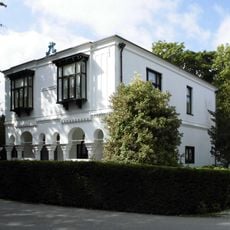
Plantagehuis
423 m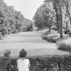
Plantagehuis: parkaanleg
480 m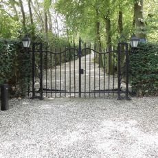
Plantagehuis: toegangshek
494 m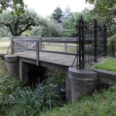
Plantagehuis: brug met toegangshek
423 m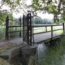
Plantagehuis: brug met toegangshek (sloot zuidzijde Kleizuwe)
313 m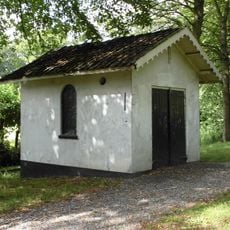
Plantagehuis: dienstgebouw
486 m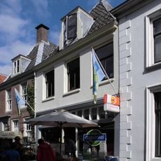
Voorstraat 15, Vreeland
725 m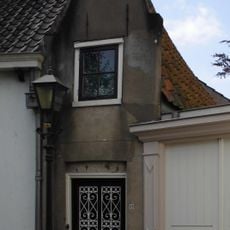
Klapstraat 23, Vreeland
730 m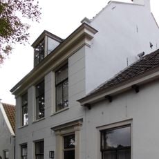
Klapstraat 17, Vreeland
731 m
Klapstraat 15, Vreeland
729 m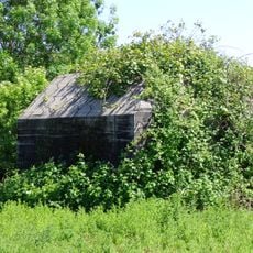
Fort Kijkuit concrete works
327 m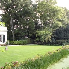
Slotzicht: historische tuin aanleg
708 m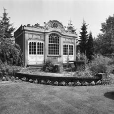
Slotzicht: tuinhuis
690 m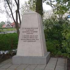
Oorlogsmonument
503 mVisited this place? Tap the stars to rate it and share your experience / photos with the community! Try now! You can cancel it anytime.
Discover hidden gems everywhere you go!
From secret cafés to breathtaking viewpoints, skip the crowded tourist spots and find places that match your style. Our app makes it easy with voice search, smart filtering, route optimization, and insider tips from travelers worldwide. Download now for the complete mobile experience.

A unique approach to discovering new places❞
— Le Figaro
All the places worth exploring❞
— France Info
A tailor-made excursion in just a few clicks❞
— 20 Minutes