
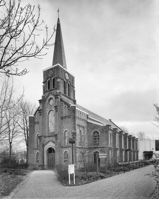
Hervormde kerk, church building in Heerhugowaard, Netherlands
Location: Heerhugowaard
Inception: 1870s
GPS coordinates: 52.66724,4.84172
Latest update: March 21, 2025 14:05

Museum Broeker Veiling
2.8 km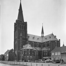
Johannes de Doperkerk
4 km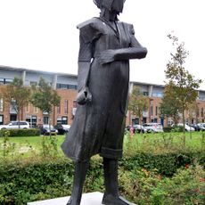
Vrouwen uit het verzet
2.4 km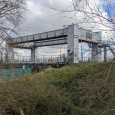
Bolbridge
2.9 km
Sint-Dionysiuskerk
618 m
Nederlands Hervormde Kerk
3.7 km
Heilige Familiekerk
2 km
Molen D / Oosterdel
1.4 km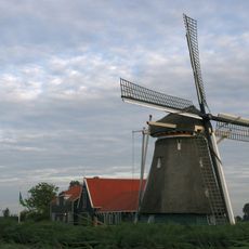
De Otter
4 km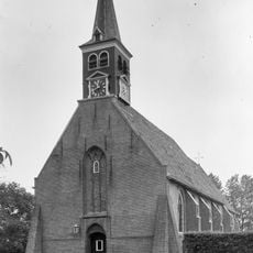
Hervormde kerk
2.5 km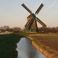
Obdammermolen
3.7 km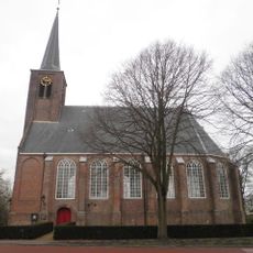
Hervormde kerk
3 km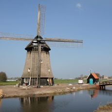
Strijkmolen K
4.1 km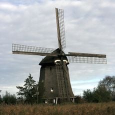
Strijkmolen L
4 km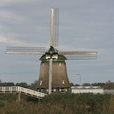
Polder Hensbroek
1.9 km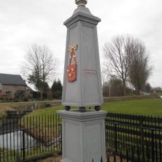
Grenspaal, Obdam
3.4 km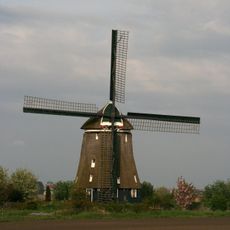
Molen A
2.9 km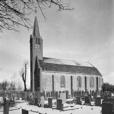
Nederlands Hervormde Kerk (Zuid-Scharwoude)
3.6 km
Middenweg 22, Heerhugowaard
2.7 km
Noordschermerdijk 4, Oterleek
4 km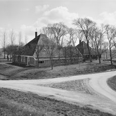
Noordschermerdijk 6, Oterleek
4 km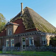
Dorpsweg 59, Hensbroek
3 km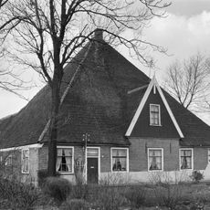
Middenweg 23, Heerhugowaard
1.9 km
Heerhugowaard Centrum public library
1.2 km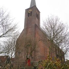
Hervormde Kerk, Hensbroek
3 km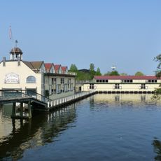
Museum Broekerveiling
2.7 km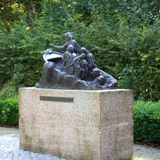
O Heer Redt Ons
367 m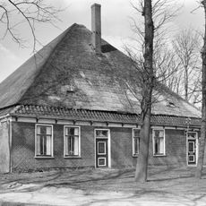
Stolpboerderij
2.4 kmReviews
Visited this place? Tap the stars to rate it and share your experience / photos with the community! Try now! You can cancel it anytime.
Discover hidden gems everywhere you go!
From secret cafés to breathtaking viewpoints, skip the crowded tourist spots and find places that match your style. Our app makes it easy with voice search, smart filtering, route optimization, and insider tips from travelers worldwide. Download now for the complete mobile experience.

A unique approach to discovering new places❞
— Le Figaro
All the places worth exploring❞
— France Info
A tailor-made excursion in just a few clicks❞
— 20 Minutes