
Bunker Kloetinge
Location: Goes
Inception: 1950s
GPS coordinates: 51.50216,3.90718
Latest update: March 22, 2025 15:14

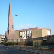
Sionkerk
633 m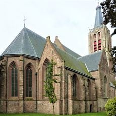
Geerteskerk
740 m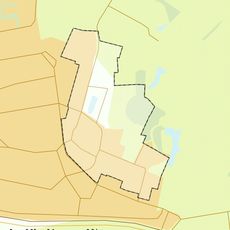
Rijksbeschermd gezicht Kloetinge
753 m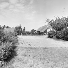
Verhoogd gelegen hofstede
606 m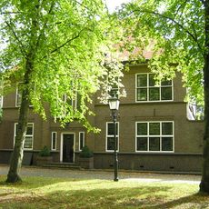
Marktveld 19, Kloetinge
730 m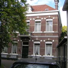
Marktveld 5, Kloetinge
647 m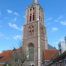
Geerteskerk
718 m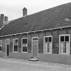
Geertesplein 15, Kloetinge
733 m
Geertesplein 5, Kloetinge
774 m
Geertesplein 4, Kloetinge
769 m
Noordeinde 5, Kloetinge
656 m
Marktveld 15, Kloetinge
718 m
Marktveld 8, Kloetinge
681 m
Marktveld 2, Kloetinge
671 m
Lewestraat 6, Kloetinge
561 m
Dwarshuis
724 m
Geertesplein 1, Kloetinge
753 m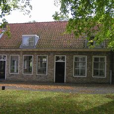
Marktveld 14, Kloetinge
718 m
Geertesplein 21, Kloetinge
686 m
Marktveld 20, Kloetinge
732 m
Marktveld 3, Kloetinge
669 m
Dwarshuis eindigend met tuitgevel
697 m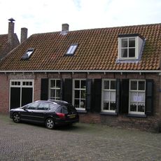
Geertesplein 17, Kloetinge
713 m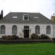
Geertesplein 14, Kloetinge
745 m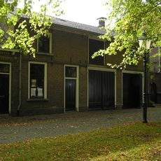
Kloetinge: koetshuis
725 m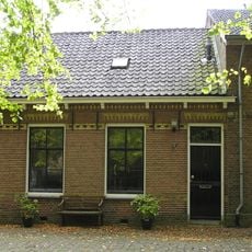
Kloetinge: koetsierswoning
724 m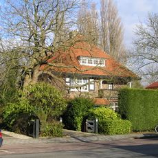
Vrijstaand woonhuis "De Zonnehof"
762 m
Geertesplein 3, Kloetinge
766 mReviews
Visited this place? Tap the stars to rate it and share your experience / photos with the community! Try now! You can cancel it anytime.
Discover hidden gems everywhere you go!
From secret cafés to breathtaking viewpoints, skip the crowded tourist spots and find places that match your style. Our app makes it easy with voice search, smart filtering, route optimization, and insider tips from travelers worldwide. Download now for the complete mobile experience.

A unique approach to discovering new places❞
— Le Figaro
All the places worth exploring❞
— France Info
A tailor-made excursion in just a few clicks❞
— 20 Minutes