
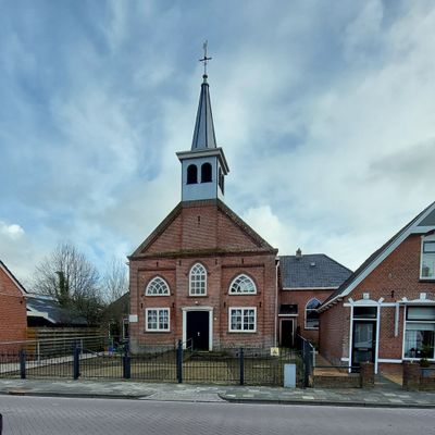
De Bining, church in Easternijtsjerk, Netherlands
Location: Noardeast-Fryslân
Address: Kerkstraat 13 8433LH 8433LH
GPS coordinates: 53.06521,6.32818
Latest update: March 7, 2025 22:07
Northern Netherlands
3.9 km
Zwartendijksterschans
2.8 km
Blauwe Bos
2.1 km
De Haspel
4.5 km
Landweer Allardsoog
2.7 km
Gereformeerde kerk, Haulerwijk
1.2 km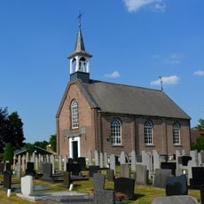
Church (Haule, Ooststellingwerf)
3.2 km
Monument aan De Haspel
4.4 km
Windmotor Waskemeer
1.4 km
De Mande
4.8 km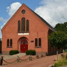
Baptist church
934 m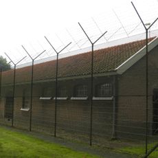
Voorm. cellengebouw (Rode Pannen)
4.8 km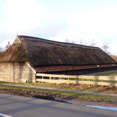
Schaapskooi bij Tsjerkewâl 31, Bakkeveen
4.5 km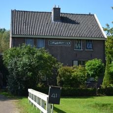
Helpt Elkander
4.9 km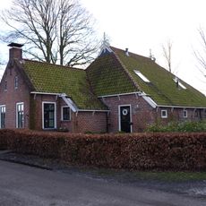
Houtwâl 14, Bakkeveen
4.4 km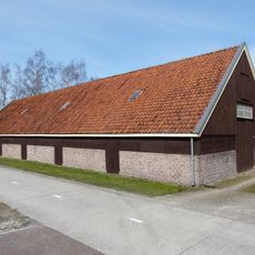
Voorm. schaapskooi
4.5 km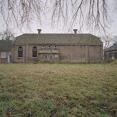
Het Stoom
4.6 km
Mjumsterwei 37, Bakkeveen
4.6 km
Kazerne van de Koninklijke Marechaussee
4.9 km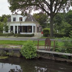
Hoofdweg 162-164 (Veenhuizen, Noordenveld)
4.6 km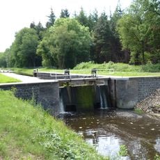
Sluis II (Veenhuizen, Noordenveld)
4.6 km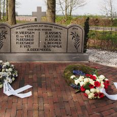
Herinneringsmonument 1940-1945
4.1 km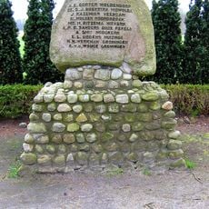
Verzetsmonument
2.9 km
Slachthuis
4.8 km
Voorm. herberg Allardsoog
3 km
Gevangenis Rode Pannen
4.8 km
Ontwikkeling
4.9 km
Sluis III
4.3 kmReviews
Visited this place? Tap the stars to rate it and share your experience / photos with the community! Try now! You can cancel it anytime.
Discover hidden gems everywhere you go!
From secret cafés to breathtaking viewpoints, skip the crowded tourist spots and find places that match your style. Our app makes it easy with voice search, smart filtering, route optimization, and insider tips from travelers worldwide. Download now for the complete mobile experience.

A unique approach to discovering new places❞
— Le Figaro
All the places worth exploring❞
— France Info
A tailor-made excursion in just a few clicks❞
— 20 Minutes